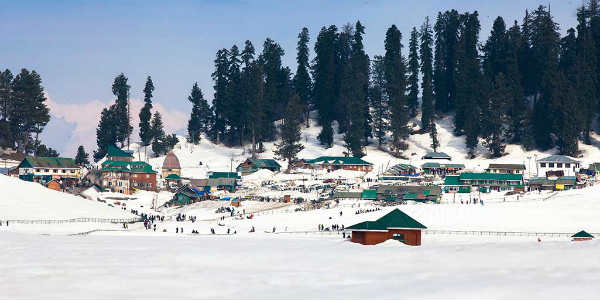
 The hilly states of North India had not witnessed any significant snowfall activity during the month of February. Moreover, the region had not seen significant spells of snowfall throughout the month of January as well.
The reason for the no snow show over the mid reaches of the hills is the reduced frequency and strength of the Western Disturbances approaching the Western Himalayan region. Unlike other winters, this time, the disturbances have remained less active.
[yuzo_related]
However, rain and snow show has once again made a comeback over the hills of North India. A fresh Western Disturbance is seen over Jammu and Kashmir region due to which snowfall has already begun over many almost entire Jammu and Kashmir as well as Himachal Pradesh.
Srinagarhas been witnessing heavy snow since yesterday along with other parts of Kashmir including Pahalgam, Gulmarg, Qazi Gund, Banihal, Rajauri and Batote. Snowfall activity has also been witnessed in parts of Himachal Pradesh inclusive ofShimla,Manali, Narkanda, Kufri, Rohtang Pass, and Kinnaur.
In fact, during the last 24 hours from 8:30 am on Sunday, Banihal saw 21.2 mm of rain, Batote 20 mm, Bhaderwah 19.2 mm, Jammu 20.6 mm, Katra 26.8 mm, Kukernag 15.8 mm, Nahan 23.1 mm, Solan 21 mm, Dharamsala 20 mm, Gulmarg 11 mm, Qazi Gund 12 mm, Srinagar 9 mm, Manali 9 mm, Shimla 6 mm, Bhuntar 2 mm, Chamba 9 mm, Hamirpur 15 mm, Kalpa 1.6 mm, Keylong 11 mm, Kullu 2 mm, Una 7 mm, Kupwara 5.8 mm, Dehradun 1.2 mm, and Haridwar 2 mm.
As per weathermen at Skymet Weather, these rain and snow activities are expected to continue today with the intensity being on the heavier side. However, tomorrow, only isolated weather activity will be witnessed.
On the other hand, another Western Disturbance is expected to affect the hills of North India around February 15 due to which the region will see more snowfall activity. Thus, no significant relief is expected for another 3-4 days.
Image Credit: instagram
Please Note: Any information picked from here must be attributed to skymetweather.com


