Ever since its inception,Cyclone Fanihas been surprising weathermen. What was a mere cyclonic circulation turned into a depression despite being so close to the Equator. The system finally became a tropical cyclone in Southeast Bay of Bengal and adjoining Equatorial Indian Ocean.
Cyclonic storm Fani was already a slowmoving system but the progress of the cyclone has become extremely sluggish in the last 24 hours. It has been travelling at the speed of 4 kmph - 5 kmph during the last few hours.
Moreover, Fani is travelling in extremely favorable weather conditions. Sea surface temperatures are still in the range of 30°C to 32°C and vertical wind shear is also low. MJO (Madden–Julian oscillation), which is invariably linked with good rains over Indian, is also passing through Indian Ocean in good amplitude. In fact, MJO is likely to stay in the close vicinity for a good amount of time.
Atmospheric conditions and cloud configuration are indicating that it has strengthened intosevere cyclonic storm. With its slow movement and conducive sea conditions makes a deadly combination for strengthening of Cyclone Fani.
Cyclonic storm Fani is likely to become very severe cyclone in the next 24 hours and thereafter into an extremely severe cyclone in subsequent 24 hours. It would continue to move northwestwards.
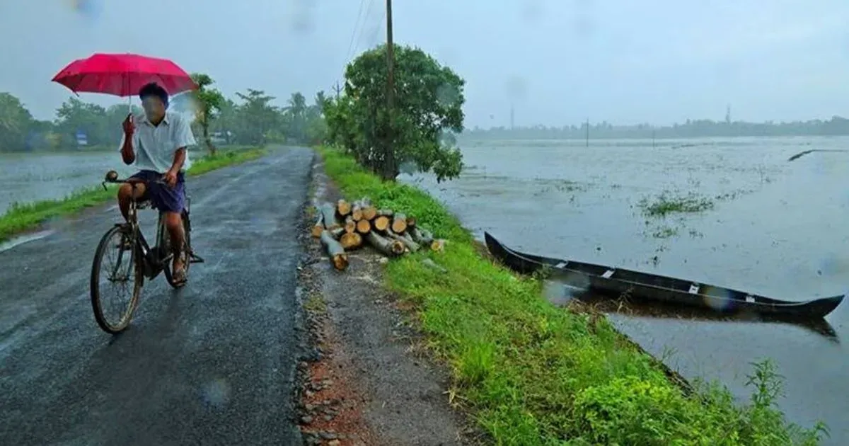
Talking about rainfall over Indian mainland, Fani is still faraway in the sea and thus, we do not see any direct impact over the region. However, as the system gets more marked and comes closer, the periphery of Fani would start impacting the weather over South India including Kerala, Tamil Nadu, Andhra Pradesh and some parts of Karnataka.
Till then, majority of rains and high velocity winds would be mainly confined to sea only.
Image Credit: Kolkata24x7
Any information taken from here should be credited to skymetweather.com