The Low-Pressure Area over Northeast Madhya Pradesh and neighbourhood with the associated Cyclonic Circulation extending up to 7.6 km above mean sea level tilting southwestwards with height persists. Its associated cyclonic circulation and moist westerly winds from the Arabian Sea converge over Central to Western India and will thus result in moderate toheavy rain and thunderstorms mainly across Madhya Pradeshand the neighbouring regions. This system will hover maintaining its intensity for the next couple of days. This Low-Pressure Area has been a slow-moving system that was formed in the Bay of Bengal and has been stationary as well and is responsible for giving rains over the eastern and the central parts of the country.
TheMonsoon Trough at mean sea levelnow passes through Sri Ganganagar, Karnal, Etawah, centre of Low-Pressure Area over Northeast Madhya Pradesh and neighbourhood, Daltonganj, Bankura, Diamond Harbour and thence east-southeastwards to Northeast Bay of Bengal. The Monsoon will be active with a Cyclonic Circulation over Central India.
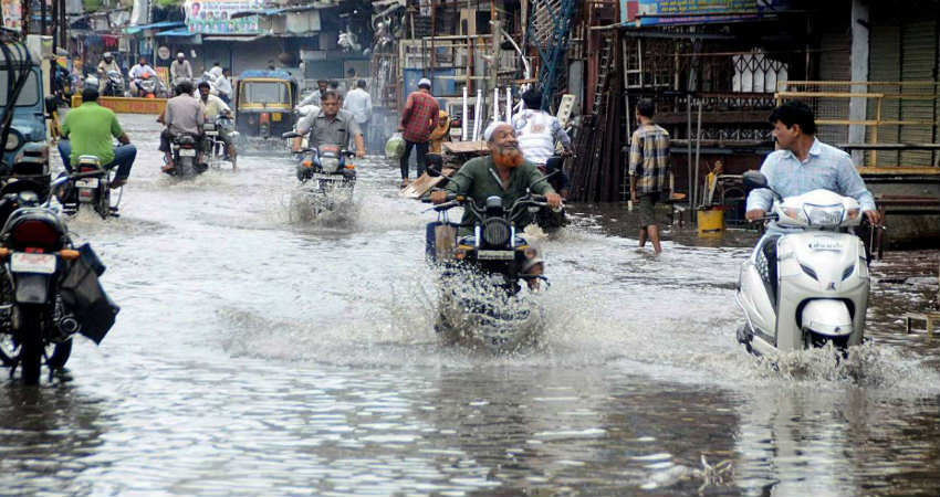
As many as 11 districts ofMadhya Pradesh have declared a holiday for all government and private on Monday due to incessant rainfalllashing parts of the state since Saturday evening.
As soon as this system will oscillate to North, it will give scattered light to moderate rains overUttar Pradesh and Biharand similarly when it will oscillate towards South, it might just give rains overAndhra Pradesh and Telangana.
Eventually, as days passes, reduction in the rain intensity can be a sight, thus we can say that rains in wake of Low-Pressure Area will be of varied intensity for at least next six days and will keep the Monsoon active over the affected areas and its peripheries.
Image Credits – DNA India
Any information taken from here should be credited to Skymet Weather