A big spell is coming up, attacking simultaneously, the plains and hills of North India. Moderate to heavy rain and snowfall in the hills and stormy conditions in the plains will commence anytime soon. Upcoming weekend may be a drenched one, keeping the festival Baisakhi, wet and windy, leaving flavor of chill during late night and early morning. Weather activity will extend beyond the weekend, may be one more day over plains and stretch further till Tuesday for the hills.
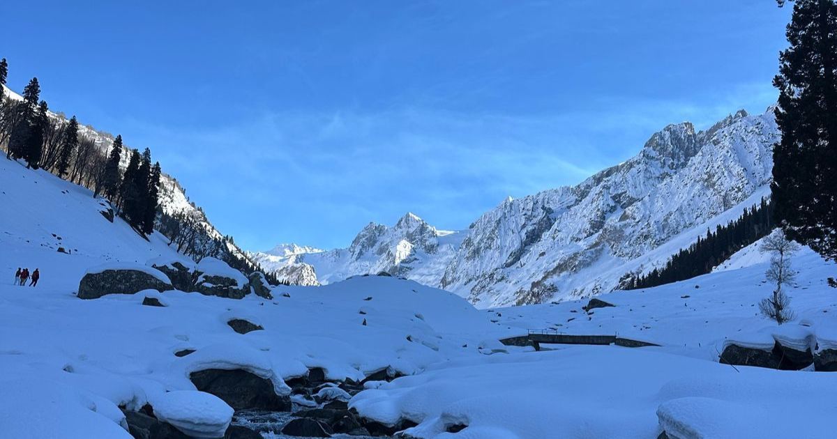
Moderate to heavy snowfall is likely over the elevated places, above 10,000 feet and heavy rain and thundershowers in the low and mid reaches. Peak activity is expected for the mountains on 13th and 14thApril. Jammu & Kashmir, Himachal Pradesh and Uttarakhand will have the intensity varying and sliding, in that sequence. Hailstorm may accompany the stormy weather conditions over the mountains, more so for Himachal Pradesh on 14thApril.
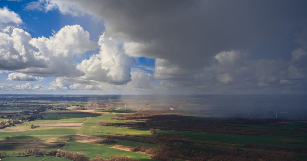
Spread of weather activity will cover large parts of plains over Rajasthan, Punjab, Haryana and Delhi region. Some parts of West and Southwest Uttar Pradesh and North Madhya Pradesh will witness scattered thunderstorms between 13th & 15th April. Loud peals of thunder and strong flashy lightening strikes are likely over Punjab, Haryana and Rajasthan. This weather activity will be accompanied with strong gusty winds and sharp blinding showers. Hailstorm activity is quite likely, more so along the foothills and contiguous parts of these three states.
Under the combined influence of the western disturbance over the mountains and circulation over the plains, first wide spread typical pre monsoon activity will start the ball rolling. This prolonged spell may be closely followed by yet another, arriving on the next weekend. Scale and magnitude of activity could be similar or even bigger. This back to back weather activity will keep the heat under check over North India. Northern plains may escape the fury of heat wave during April and prepare for the same in may.