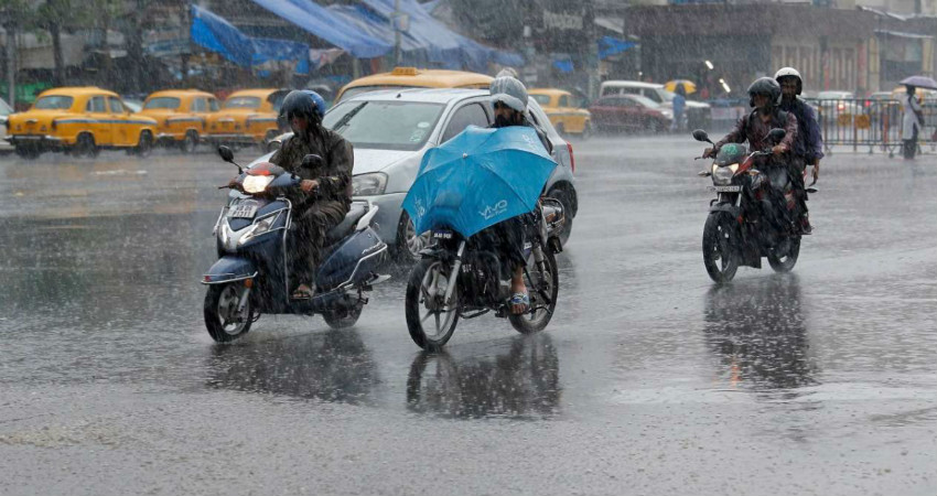
In the past 24 hours, heavy to extremely heavy rains have occurred over many parts of Gangetic West Bengal especially over Bankura, Purulia and Alipore. Malda too witnessed moderate to heavy rain and thundershowers. The Severe Cyclonic Storm Fani over Gangetic West Bengal moved further north-northeastwards with a speed of about 29 kmph in last six hours and gradually weakening into a Cyclonic Storm. At 0530 hours IST May 4, the storm lay centred over Gangetic West Bengal near Latitude 23.1°N and Longitude 88.2°E, about 120 km north-northeast of Midnapore and 60 km northwest of Kolkata. It is very likely to continue to move north-northeastwards and weaken further into a Deep Depression during next six hours. It is very likely tomove further north-northeastwards and hit Bangladesh on May 4 by noon and further weaken into a Depression.
However, during this time we expect intermittent rain and thundershowers to continue over Gangetic West Bengal. As per the experts, the intensity of rains would increase over the central districts and as well as over Sub Himalayan West Bengal and Sikkim.Places like Burdhman, Malda, North Dinajpur, South Dinajpur, Cooch Behar, Jalpaiguri, Siliguriwould receive moderate to heavy rains. With time, the intensity is expected to reduce over Gangetic West Bengal but for next 24 hours, fairly widespread rain and thundershowers would continue. Thereafter, the system will move further towards Northeast India due to which the intensity of rain will reduce in the region.
In the past 24 hours from 8:30 am on Friday, Kalaikunda, Bankura, Sreeniketan, Asansol, Midnapore, Shantiniketan, Malda, Dum Dum, Digha, Diamond Harbour, Alipore witnessed 148 mm, 112 mm, 93.2 mm, 86.1 mm, 82.8 mm, 46 mm, 59 mm, 46 mm, 60 mm and 66 mm of rains, respectively. Due to heavy to extremely heavy rains, in past 24 hours, the day temperature in Kolkata witnessed a drop of five degrees to settle at 30.2°C. Similarly, Diamond Harbour recorded its maximum at 29.4°C whihc is a drop of four degrees,Dighatoo witnessed a drop of five degrees with maximum settling at 27.7°C.
Image Credit: DNA India
Please Note: Any information picked from here must be attributed to skymetweather.com


