Shimla, Manali, Dehradun, Mussoorie, Nainital to continue with good rains

August 5, 2017 12:21 PM|

Rain in Shimla

The hilly states of Uttarakhand and Himachal Pradesh have been witnessing very good rains since many days. These rains were due to the Western Disturbance which was prevailing over East Jammu and Kashmir. The axis of Monsoon trough is also passing through the foothills of Himalayas.

[yuzo_related]

Due to the combined effect of both these weather systems, moderate to heavy rains occurred at many places over Himachal Pradesh and Uttarakhand. It is anticipated that these rains will continue as the axis of Monsoon trough is likely to prevail over the region for the next 24 to 48 hours.

We expect moderate rains at many places with isolated heavy showers to occur at a few places over Himachal Pradesh and Uttarakhand. Though the Western Disturbance which was prevailing over East Jammu and Kashmir is moving away, another fresh Western Disturbance is likely to affect the Western Himalayan region after 24 hours.

Click the image below to see the live lightning and thunderstorm across Uttarakhand and Himachal Pradesh

HILLS

Therefore, heavy rainfall is likely to continue for the next 24 to 48 hours. In the last 24 hours from 8:30 am on Friday, Haridwar in Uttarakhand recorded heavy rain of 148. 8 mm,Dehradun87 mm, Almora 55 mm, Tehri 46 mm, Mukestehwar  27 mm, Mussoorie 30 mm and Nainital 25 mm of rain.

In the same span of time, Nahan in Himachal Pradesh recorded 103.8 mm of rain, Sundernagar 66.4 mm, Solan 52.6 mm, Dharamsala 38 mm, Una 71 mm,Shimla17 mm,Mandi16 mm of rain. Presently, both the states are normal in terms of rainfall but it is anticipated that they will become rain surplus due to these continuous hefty rains.

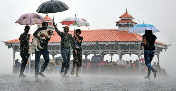
IMAGE CREDIT: indiatimes.com

Any information taken from here should be credited to skymetweather.com

Similar Articles

thumbnail image
March 20, Today Marks The Spring Equinox: Day-Night Duration Nearly Equal

The official transition from winter to spring, known as the SPRING EQUINOX, occurs today! It’s time when the Sun crosses the celestial equator precisely at 2:31 PM, delivering warmer, longer days to the Northern HemiSphere. As autumn arrives, the South enjoys colder evenings.

posted on:
thumbnail image
आज सूर्य करेगा भूमध्य रेखा पार, बसंत ऋतु की शुरुआत, दिन-रात की अवधि लगभग बराबर

आज, 20 मार्च 2025, बसंत विषुव (Spring Equinox 2025) का दिन है। सूर्य भूमध्य रेखा को पार करेगा, दिन बड़े और गर्म होंगे। उत्तर गोलार्ध में बसंत ऋतु की शुरुआत होगी, दक्षिण गोलार्ध में शरद ऋतु का आगमन होगा। वहीं, सितंबर में यह खगोलीय घटना फिर से होगी।

posted on:
thumbnail image
गर्मी का दायरा बढ़ा! ओडिशा, महाराष्ट्र, तेलंगाना और रायलसीमा में 40°C के पार तापमान, राहत की उम्मीद

देश में समय से पहले गर्मी असर बढ़ रहा है। ओडिशा, महाराष्ट्र, तेलंगाना, आंध्र प्रदेश में अभी तापमान से 40°C से ऊपर पहुंच गया है, जिस कारण इन राज्यों में भीषण गर्मी हो रही है। फरवरी 2025, पिछले 125 वर्षों में सबसे गर्म महीना रहा है। कई जगहों पर सामान्य से 6.4°C तक ज्यादा तापमान रिकॉर्ड हुआ है।

posted on:
thumbnail image
दिल्ली में बढ़ेगी गर्मी! शुष्क और तपता रहेगा वीकेंड, बारिश की संभावना हुई कम

दिल्ली में गर्मी बढ़ रही है, पिछले 3 दिनों में तापमान 4°C बढ़ा है। आज अधिकतम 34-35°C, न्यूनतम 17°C तक रह सकता है। मार्च अब तक लगभग शुष्क बना हुआ है, सिर्फ 2mm बारिश दर्ज हुई है। 26-28 मार्च को तापमान 40°C के करीब पहुंचने की संभावना है। वहीं,पश्चिमी विक्षोभ से मैदानी इलाकों में बारिश की संभावना नहीं है।

posted on: