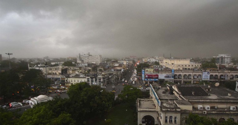
Central and eastern parts of the country have been experiencing unseasonal weather activity for the last three days. Moderate thunderstorms, lightning and sharp showers have impacted parts of Chhattisgarh, East Madhya Pradesh and Gangetic West Bengal. Sporadic activity has been witnessed in the neighbouring states as well, albeit on a milder note. More unseasonal showers are expected, till mid-week.
The intensity and spread of weather activity are likely to increase over the next 2-3 days. An in situ cyclonic circulation is likely to come up over parts of South Chhattisgarh and Odisha in the lower levels. An inclined trough will extend from South West Bengal to Telangana, across Odisha and Chhattisgarh. The weather activity is expected to become intense in pockets of Chhattisgarh, Odisha, Jharkhand and West Bengal, tomorrow and the day after. Peripherals of stormy activity may even cover parts of East Madhya Pradesh and Vidarbha. While, it may vacate parts of Chhattisgarh, Vidarbha and Madhya Pradesh on 20th March, it is likely to extend its reach up to Bihar and North Coastal Andhra Pradesh.
Lightening strikes and strong gusty winds are expected to accompany the unseasonal weather activity. Hailstorms, damaging for the standing crops in the area, are quite likely in many places, more fierce for Chhattisgarh, Odisha and West Bengal. Inclement weather and hazardous conditions are likely in some areas, most of it, in the evening and night. Exercise caution, to avert any loss of life on account of lightening and material due to heavy weather activity.
Such thunderstorms and hailstorms are mostly heat-triggered and occur in the thick of pre-monsoon. The Bay of Bengal fuels the moist winds to sharpen the intensity and spread. April and May are more conversant with this type of powerful activity. Early occurrence of such acute weather can be attributed to the passage of a trail of quick western disturbances across the plains and mountains of north India. Weather activity will substantially reduce on 21stMarch and vacate the area on 22ndMarch, in toto.
Image Credit: oneindia.com


