
SevereCyclone Maha at present is located at 15.9 N and 69.1 Eat 23:30 hours as on November 1. Geographically, it is 570 km South-southwest of Veraval and 500 km West-northwest of Goa.
At present, the Severe Cyclone Maha is moving in Northwest direction. The system will continue to move in the same direction until November 4.
However, in a turn of events after affecting South India, the Cyclone now might recurve in East-northeast direction towards Gujarat coast by November 5.
There are bright chances thatthe Cyclone might intensify into a Very Severe Cycloneby today evening. While moving towards Gujarat the Cyclone will encounter cooler sea surface temperatures which may weaken the Cyclone. Moderate to strong vertical wind shear will also inhibit its intensification. Therefore, we expect that it might weaken into a Cyclonic Storm or a Deep Depression while reaching the coast.
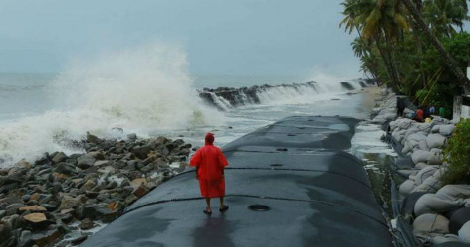
Already the approaching Cyclone has led to light to moderate rains over Gujarat in the last 24 hours. While Veraval recorded 15 mm rains, Keshod received 12 mm rains.
Not just Gujarat the entireWest Coastas well as Lakshadweep Islands has recorded rains in the view of Cyclone Maha. While Mumbai recorded 46 mm rains, Dahanu 41 mm, Nashik 36 mm, Amini Divi 10 mm and Karwar recorded 3 mm rains.
Although any heavy rainfall is being ruled out over Gujarat in the next 24 hours, the sea conditions will continue to batter the Gujarat coast. Wind speed to the tune of 40-50 kmph gusting up to 60 km is likely in coastal areas. Fishermen are advised to exercise caution while venturing out in the open waters.
Image Credits– The Indian Express
Any information taken from here should be credited to Skymet Weather


