
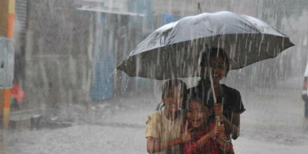
Both Madhya Pradesh and Chhattisgarh have witnessed good rains during the second half of July. However, after some exceptionally good rainy days, the rain intensity over both the state reduced.
Though the rain intensity in contrast with West Madhya Pradesh was much more in the eastern region of the state. While southern districts of Chhattisgarh were braced by good showers as compared with the other region of the state.
While, the last 48 hours were almost dry for most of the districts of Madhya Pradesh, isolated pockets of Chhattisgarh were blessed by some light showers. But in the last 24 hours, few stations of Madhya Pradesh too recorded light spells.
Within the span of 24 hours from 08:30 am on Thursday, Nowgong andJagdalpurrecorded 12 mm of rains each, Hoshangabad 7 mm,Indore5 mm, Khargone 4 mm and Pachmarhi witnessed light rains of 3 mm.
[yuzo_related]
At present, a strong cyclonic circulation is over North Bay of Bengal. This weather system is expected to induce a low-pressure area and will move inland in the west direction across Chhattisgarh and Madhya Pradesh, resulting in giving good rains over both the states. Thus, moderate to heavy rains at many places over both Chhattisgarh and Madhya Pradesh between August 6 and 8.

Skymet Weather reiterates that initially, Chhattisgarh along with East Madhya Pradesh that includes districts such asRewa, Satna, and Sagar will start receiving good rains. Gradually, as the rain belt will shift further west, the districts of West Madhya Pradesh such asBhopal, Indore, andRatlamwill also start witnessing good rains.
This rain episode will not last long like the previous that occurred in the month of July when the low-pressure area persisted for a longer duration. This will be a fast moving weather system that will result in rains for a short duration.
ImageCredit: Hindustan Times
Any information taken from here should be credited to skymetweather.com


