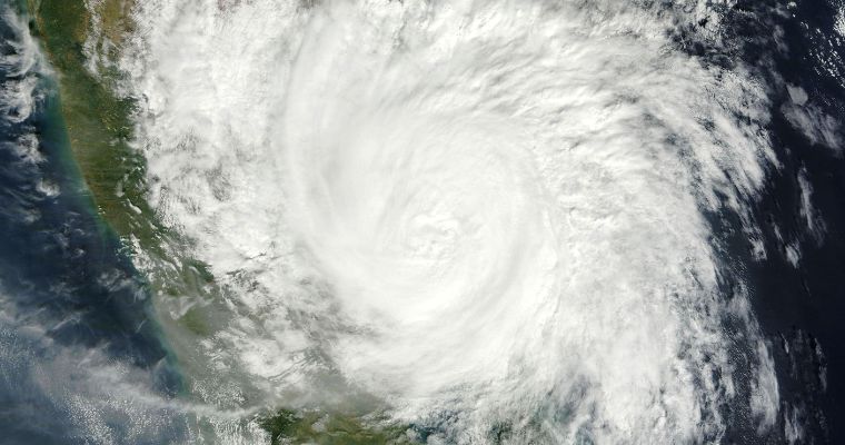
The remnant of storm Fengal, as a low-pressure area over the interiors of Tamil Nadu and South Interior Karnataka has moved west-northwestward. The weather system is now marked over Coastal Karnataka and adjoining East-Central Arabian Sea. The low pressure has given heavy rainfall over Kerala, Coastal Karnataka. Moderate to heavy showers also lashed the interiors of Tamil Nadu and South Interior Karnataka in the past 24 hours. Heavy rainfall locations included Mangalore (156mm), Cannur(96mm), Kozhikode (156mm), Karipur( 120mm) and Salem (96mm). Bengaluru also received a decent and moderate spell of 40mm, for the second consecutive day, to break the jinx of prolonged dry weather since the middle of last month.
The low pressure is likely to move further westward and enter the Arabian Sea. It is to be watched for any intensification over the next 48 hours. Fairly widespread rain and thundershowers with moderate intensity at most places and heavy rainfall at isolated places are likely over Coastal Karnataka, Goa, Kerala and Lakshadweep region in the next 24 hours. Subsequently, the heavy rainfall belt will shift over the seas, away from the coastline. The residual effect of this system will continue along and off the coast for the next 5-6 days. It may even extend to cover the Konkan region, as well. Ratnagiri, Sindhudurg, Rajapur, Mahabaleshwar and Raigad may have light rainfall during this period. Mumbai region may skip these unseasonal showers and only partly cloudy sky is likely. However, the temperatures are likely to stay above normal, both day and night, for Mumbai and its suburbs.


