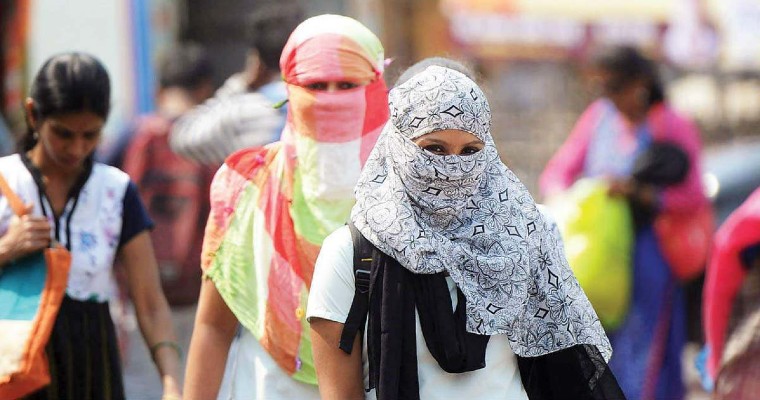
Many parts of the country are witnessing prolonged dry spell and heat wave. Month of March remained practically dry for most parts of the country except Northeast India and the South Peninsula. Temperatures soared further in April. April also witnessed a prolonged dry spell.
However, there was mild dust storm and thunderstorm activity on April 21 and 25 over parts of north and Northwest India. These pre monsoon activities were not enough to cool down the temperatures.
A fresh Western Disturbance has approached the Western Himalayas and it has enjoyed a cyclonic circulation over Central Pakistan and adjoining parts of Punjab and Haryana. Another cyclonic circulation is over Bihar and adjoining areas. A trough from this cyclonic circulation is extending up to foothills of Northwest Uttar Pradesh.
In the wake of these weather parameters, we expect rain and thundershower activities to commence over parts of Bihar, West Bengal and at isolated pockets of Jharkhand on April 30. From May 2, pre monsoon activity in the form of dust storm, thunderstorm or light thundershower may occur over parts of Punjab, North Rajasthan, Haryana, Delhi Uttar Pradesh and at isolated pockets of Vidarbha, Madhya Pradesh and Chhattisgarh.
Rain and thundershowers may intensify over parts of Jharkhand and Orissa on May 3rd and 4th. These weather activities will certainly drop the temperatures across northwest and east India as well as at isolated pockets of Central India.


