Red alert sounded in coastal Karnataka as the state gears up for heavy rains

October 23, 2019 9:44 AM|

Rain in Karnataka

Northeast Monsoon is turning out quite a bonanza for the state of Karnataka with the state receiving heavy rains since last many days.

During the last 24 hoursmoderate to heavy rains have lashed Karnataka. Looking at the rainfall figures for last 21 hours, Belgaum received 15 mm rains, Gadag 41 mm, Honnavar 23 mm, Chitradurg 16 mm,Bengaluru13 mm while Mangalore recorded some light rainfall.

These rains can be traced down to the presence ofa Well Marked Low Pressure Area over East-central Arabian Sea. The system will keep persisting over this area while moving North-northeastwards towards Karnataka coast leading to increase in rain activities.

We expect rain activities to intensify over Karnataka by today evening. These rains may continue over the state until October 25. During this time, ‘red alert’ situation is expected to emerge in coastal areas of Karnataka. However North Interior Karnataka may also experience moderate to heavy rains. Light to moderate rains with one or two heavy spells are likely over South Interior Karnataka. Bengaluru may also receive moderate showers.

After October 25, the Well Marked Low Pressure Area will start moving towards Northwest and may intensify further. However, its impact will be less over the Indian coast. Thus, Karnataka will see decreased rain activities after October 25. Weather will start improving however light to moderate rains will continue over some parts of Karnataka.

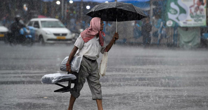
Image Credits– Deccan Herald

Any information taken from here should be credited to Skymet Weather

Similar Articles

thumbnail image
March 20, Today Marks The Spring Equinox: Day-Night Duration Nearly Equal

The official transition from winter to spring, known as the SPRING EQUINOX, occurs today! It’s time when the Sun crosses the celestial equator precisely at 2:31 PM, delivering warmer, longer days to the Northern HemiSphere. As autumn arrives, the South enjoys colder evenings.

posted on:
thumbnail image
आज सूर्य करेगा भूमध्य रेखा पार, बसंत ऋतु की शुरुआत, दिन-रात की अवधि लगभग बराबर

आज, 20 मार्च 2025, बसंत विषुव (Spring Equinox 2025) का दिन है। सूर्य भूमध्य रेखा को पार करेगा, दिन बड़े और गर्म होंगे। उत्तर गोलार्ध में बसंत ऋतु की शुरुआत होगी, दक्षिण गोलार्ध में शरद ऋतु का आगमन होगा। वहीं, सितंबर में यह खगोलीय घटना फिर से होगी।

posted on:
thumbnail image
गर्मी का दायरा बढ़ा! ओडिशा, महाराष्ट्र, तेलंगाना और रायलसीमा में 40°C के पार तापमान, राहत की उम्मीद

देश में समय से पहले गर्मी असर बढ़ रहा है। ओडिशा, महाराष्ट्र, तेलंगाना, आंध्र प्रदेश में अभी तापमान से 40°C से ऊपर पहुंच गया है, जिस कारण इन राज्यों में भीषण गर्मी हो रही है। फरवरी 2025, पिछले 125 वर्षों में सबसे गर्म महीना रहा है। कई जगहों पर सामान्य से 6.4°C तक ज्यादा तापमान रिकॉर्ड हुआ है।

posted on:
thumbnail image
दिल्ली में बढ़ेगी गर्मी! शुष्क और तपता रहेगा वीकेंड, बारिश की संभावना हुई कम

दिल्ली में गर्मी बढ़ रही है, पिछले 3 दिनों में तापमान 4°C बढ़ा है। आज अधिकतम 34-35°C, न्यूनतम 17°C तक रह सकता है। मार्च अब तक लगभग शुष्क बना हुआ है, सिर्फ 2mm बारिश दर्ज हुई है। 26-28 मार्च को तापमान 40°C के करीब पहुंचने की संभावना है। वहीं,पश्चिमी विक्षोभ से मैदानी इलाकों में बारिश की संभावना नहीं है।

posted on: