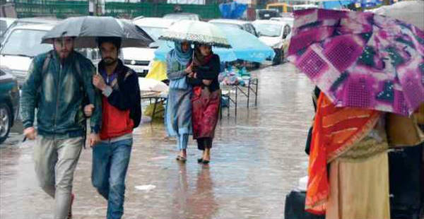
Since past many days, the hilly states of North India have been witnessing scattered light to moderate rains over many parts. In fact, the state of Himachal Pradesh has witnessed one or two heavy spells as well.
[yuzo_related]
In a span of 24 hours from 08:30 am on Monday, Dharamsala recorded a good 46 mm of rainfall, followed by Uttarkashi 36 mm, Pantnagar 28 mm, Mussoorie 23 mm, Champawat 21 mm, Manali 14 mm, Dehradun 13 mm, Tehri 11 mm, Gulmarg 7 mm, Nainital 7 mm, Solan 6 mm, Shimla 4 mm and Katra 3 mm.
These rains can be attributed to the Western Disturbance that is over Jammu and Kashmir. With the presence of this weather system, light to moderate rains will continue to whip these northern hills for the next 24 hours.
Weathermen at Skymet Weather expect the intensity of these rains to increase around July 27 to 29. During that period, few heavy spells are also expected over Himachal Pradesh and Uttarakhand.
Take a look at the live lightning and thunderstorm status over Northern Hills of India
Meanwhile, Vaishno Devi and Katra may receive good rains. With these ongoing rains and more in offing, the occurrence of landslides and flash floods cannot be ruled out over the region. Hence, people are advised to take precautionary measures.
As on July 25, the subdivision of rainfall distribution statistics show that Jammu and Kashmir region is rain surplus by 44%, Uttarakhand is rain surplus by 10% and Himachal Pradesh is the only rain deficient region by 12%.
Image Credit: kashmirmonitor.in
Any information taken from here should be credited to skymetweather.com


