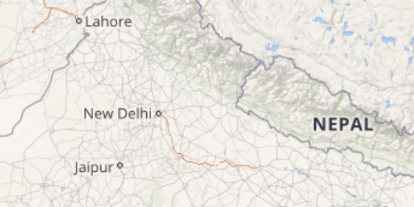
The plains of Northwest India that includes Punjab, Haryana, West Uttar Pradesh, North Rajasthan and Delhi have been observing pre-Monsoon activities for the last two to three days.
In fact, on the past day also, many parts of these regions have witnessed dust storm activities followed by widespread rain and thundershowers and squally winds.
These pre-Monsoon activities led to a drop in both the day and night temperatures. Hence, the temperatures that were above normal at many places are now being recorded at below normal levels.
[yuzo_related]
In the span of 24 hours from 08:30 am on Monday, Najibabad recorded 13 mm of rains, Meerut 10 mm, Karnal 6 mm, Bareilly 4 mm, Amritsar 2 mm, and Patiala recorded some rainy traces.
Click here to get the live lightning and thunderstorm status across Northwest India
As per Skymet Weather, a cyclonic circulation is persisting over the northern parts of Haryana and adjoining West Uttar Pradesh. A trough is also extending from this cyclonic circulation to East India. In addition to this, the Western Disturbance is also persisting over Jammu and Kashmir.
The combined effect of all these weather systems was responsible for these pre-Monsoon activities. Additionally, these pre-Monsoon showers are likely to continue over the region for the next two to three days.
Thereafter, we expect the weather to start clearing up by April 11 over Punjab and at a few parts of Haryana, West Uttar Pradesh, Rajasthan, and Delhi. Thereafter, the weather would become dry. The clear weather conditions would further result in shooting up the mercury levels, which would result in the temperatures to again settle above the normal levels.
The regions that would continue to witness rain and thundershowers includes Amritsar, Ambala, Chandigarh, Hisar, Churu, Sri Ganganagar, Delhi, Meerut, Bareilly, and Moradabad.
Image Credit: YouTube
Any information taken from here should be credited to skymetweather.com


