Throughout the month of July, most parts of Uttar Pradesh remained almost dry. The reason for this prevalent dry spell was the formation of successive low-pressure areas over west central Bay of Bengal. These systems moved in a westerly direction towards Central India which is why parts of Madhya Pradesh received torrential rains whereas, Uttar Pradesh remained dry.
Moreover, the axis of Monsoon trough also remained south of its normal position over Madhya Pradesh and Chhattisgarh.
However, soon, by the fag end of July, Monsoon rains revived over the state and until now, the highly rain deficient state is now experiencing normal Monsoon showers. As on August 6, Uttar Pradesh is 4% rain deficient which is considered to be normal.
The reason for these revived rains, as per Skymet Weather can be associated with the movement of the low-pressure areas towards Central Uttar Pradesh. In addition to this, the axis of Monsoon trough also moved and stayed towards the north, leading to the revival of Monsoon rains over the region.
On the last day also, few areas of the state got to witness scattered light to moderate with isolated heavy rains. In the last 24 hours, from 08:30 am on Monday,Orairecorded 49 mm of rains,Lucknow40 mm, Muzaffarnagar 15 mm,Jhansi27 mm,Bahraich4 mm, Gorakhpur 4 mm, Najibabad 3 mm, andBareillyrecorded 0.6 mm of light rains.
As of now, a low-pressure area has formed over northwest Bay of Bengal and adjoining Odisha. The axis of Monsoon trough has also moved south and is at passing through Gwalior. Therefore, we expect a significant reduction in the rain activity in Uttar Pradesh from tomorrow.
This would give rise to the dry spell once again over the state which is likely to continue for the next 3-4 days. However, isolated rains may continue, but the intensity may reduce.
Thereafter, after August 11 or 12, after the weakening of the well-marked low-pressure area, the axis of Monsoon trough would once again move towards the state which may result in rains again. Hence the dry spell would not last for long.
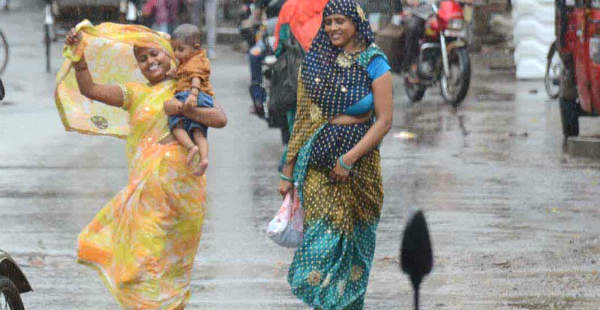
Image Credit: Patrika
Any information taken from here should be credited to skymetweather.com