Southwest Monsoon has lashed the State of Gujarat with extremely heavy rains this Monsoon season. The rains were highly extreme in nature that it led to flood situations across many parts of the state. Thousands of people got affected by the floods and almost 125 people have lost their lives.
The government of India has sanctioned relief funds for the dead and injured people. However, the rain intensity has reduced as compared to the hefty three digits down pour. In the past 24 hours also the state witnessed moderate intensity rains.
[yuzo_related]
These rains can be attributed to the well-marked Low Pressure which persists in East Rajasthan. The system has caused moderate rainfall at some places mainly over South Gujarat and northern parts of Gujarat during the past 24 hours, while light rain occurred at many places. In last 24 hours from 8.30 am on Friday, Surendranagar witnessed 75.5 mm of heavy rain, Valsad 79 mm, Suratwitnessed 27 mm of rainfall, Veraval 26 mm, Idar 10 mm,Baroda12 mm of rain.
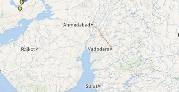
Click the image below to see the live lightning and thunderstorm across Gujarat
Ahmedabadalso witnessed very light rain of 2 mm. As the weather system is likely to weaken and move westwards hence it is expected that the rainfall intensity will reduce over Gujarat region which includes Ahmedabad, Surat, Baroda. However, Saurashtra and Kutch and western parts of the state may witness a slight increase in rainfall activity during the next 24 to 36 hours.
Temperatures will marginally increase over northern parts of Gujarat while Saurashtra and Kutch are likely to experience fall in temperatures. The floods situation across the affected area is also likely to improve.
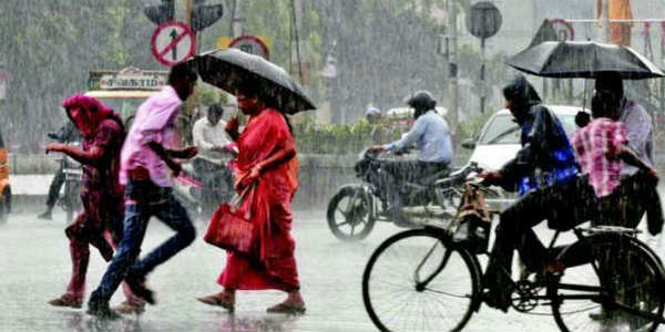
IMAGE CREDIT: livechennai.com
Any information taken from here should be credited to skymetweather.com


