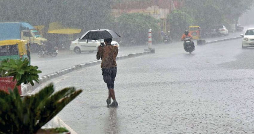
At present, a Western Disturbance is over North Pakistan and adjoining areas. And, a cyclonic circulation is over the central parts of Rajasthan. Due to the presence of this cyclonic circulation and the moisture incursion from the Arabian Sea, many parts of South and West Rajasthan have been experiencing light to moderate rain and thundershowers during the last 24 hours.
For instance, Jaisalmer recorded 17 mm of rain, and Jodhpur observed 3 mm of rain. Similarly, Barmer received rain of 6 mm, while Udaipur 2 mm of rainfall. Meanwhile, isolated rain and thundershowers also occurred over the rest of the other parts of Rajasthan.
Now, we expect these ongoing rains to continue today as well in the western and eastern parts of Rajasthan. Places like Jaisalmer, Jodhpur, Barmer, Udaipur, Chittorgarh, Kota, Bundi and etc are all likely to observe scattered light to moderate rain and thundershower activities.
Also, we expect back to back Western Disturbances (feeble in nature) to approach, but they will continue to further induce cyclonic circulations over Rajasthan and adjoining areas. Moreover, the moisture feed from the Arabian Sea will remain intact, further leading to patchy rains. Isolated hailstorm activities also cannot be ruled out.
According to our meteorologists, we expect these on and off rainfall activities to continue for the next three to four days. These rainfall activities can also be considered as 'unseasonal' rains as, during the month of March, rainfall activities occur in the wake of Western Disturbance over the northern parts of Rajasthan. But, the southern and eastern parts of Rajasthan seldom receive such rainfall activities.
The temperatures are expected to observe a dip by three to four degrees Celsius during the same episode of this rainy spell. And, the maximum temperatures will start increasing after March 27.
Image Credits: NewsCrab
All information taken from here should be attributed to Skymet Weather.


