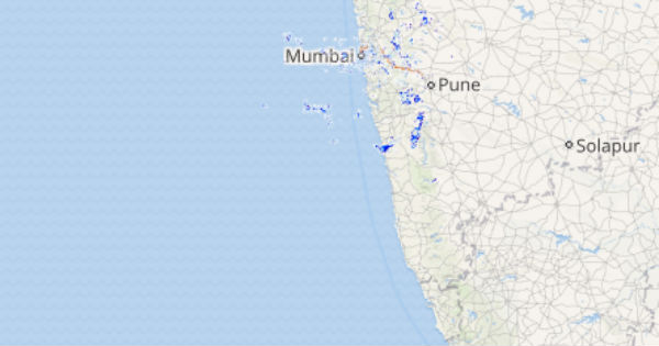
Monsoon rains have remained on a lower side for the West Coast due to the inactive offshore trough that runs along the West Coastal belt of the country. Though rains have been occurring along the West Coastal regions almost the entire month of August, the intensity of rains varied from light to moderate and heavy spells remained absent.
However, in the last 24-48 hours, Monsoon rains witnessed an increasing trend along the western coastal belt of India and most parts of the West Coast, mainly the areas in Konkan & Goa region recorded rains. This is all due to an active offshore trough that has activated the Monsoon surge.
In the last 24 hours, from 08:30 am on Friday, Ratnagiri recorded 69 mm of rains, Karwar 66 mm, Mahabaleshwar 57 mm, Karipur 45 mm, Harnai 37 mm, Vengurla 31 mm, Mangalore 19.6 mm and Kochi witnessed 14 mm of rains.
Click above to see the live lightning and thunderstorm across West Coast
[yuzo_related]
As per Skymet Weather, now the offshore trough will become active and will extend from Gujarat coast to North Konkan & Goa. This active offshore trough along the West Coast will further activate the Monsoon Surge and will stay active along the West Coast, mainly over North Konkan and North Coastal Karnataka for the next 24-36 hours.
Thus, the coastal regions lying in the vicinity of North coastal Karnataka and Konkan & Goa region such as Mumbai, Vengurla, Ratnagiri, Mahabaleshwar, Karwar, Honavar, and Mangalore may witness an increase in Monsoon rains and these regions can brace some moderate intensity showers.
On the contrary, South Coastal Karnataka and Coastal Kerala will continue to witness light rains.
Image Credit: New Indian Express
Any information taken from here should be credited to skymetweather.com


