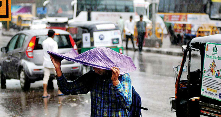
The rainfall activities have gone down significantly in the states of Gujarat and Maharashtra. And during the last 24 hours, scattered light rain with isolated moderate spells have been recorded in eastern parts of Gujarat and adjoining area as well as in eastern parts of Vidarbha, extreme Madhya Maharashtra, and adjoining coastal areas.
According to the rainfall data available with Skymet, Deesa has recorded 7 mm of rainfall, Bhavnagar 3 mm, Valsad 8 mm, Vadodara 2 mm, Wardha 11 mm, Washim 7 mm and Nagpur 6 mm in a span of 24 hours from 8:30 am on Tuesday.
The meteorologists at Skymet have predicted a further reduction in the rainfall activities of both the states. This is because theWell Marked Low-Pressure Areahas moved further towards Northeast India. And no significant weather system is prevailing in the vicinity of either Maharashtra or Gujarat.
Only a low-level Cyclonic Circulation is persisting over South Pakistan and adjoining Rajasthan, along with the Trough extending from North Madhya Pradesh to Telangana across Vidarbha.
These systems would give only patchy rains over East Gujarat that too in only a few parts due to the influence of southwesterly moist winds over the region. Places like Ahmedabad, Vadodara, Surat, and Patan stand a chance of witnessing these rains.
The rainfall activities would further decrease over Gujaratand northwesterly winds are expected to blow after a gap of 48 hours, which would add up to more dryness in the state.
Meanwhile, no significant rainfall activity is likely in the districts ofMaharashtrafor the next two days. In fact, the coastal station may remain mainly dry for another 24 to 48 hours. Only some patchy rains may occur in parts of Kolhapur, Sangli, Satara, Nagpur, Amravati, Akola, Jalgaon and Nashik within a span of 24 hours.
The cities of Mumbai and Pune would remain mainly dry with a rise in the temperatures.
Image Credits – DNA India
Any information taken from here should be credited to Skymet Weather


