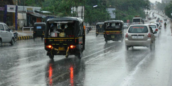
The entire state of Odisha has been witnessing decreasing trend in regards to the rainfall activities. On the other hand, several places in Andhra Pradesh in particular, the southern and northern coastal stations of the state have been observing good rains since last few days.
In a span of last 24 hours from 8:30 am on Friday, Anantapur recorded moderate rainfall of 18.5 mm, Ongole 5.3 mm, Koraput and Kurnool 1 mm.
[yuzo_related]
These weather conditions can be attributed to a cyclonic circulation which is seen over the Bay of Bengal. An associated trough is also seen extending from this system up to the interior parts of Andhra Pradesh.
Due to the effect of these weather systems, scattered light to moderate spells is likely to continue in many parts of Rayalaseema and at a few places over the northern districts of Andhra Pradesh during the next 24 hours. However, the northern districts of Andhra Pradesh will go completely dry after 24 hours.
Although the southern coastal stations of Andhra Pradesh will continue to witness scattered light to moderate showers. The southern coastal districts of Andhra Pradesh such as Nellore, Ongole, and Bapatla will witness scattered light to moderate rains during the next 24 hours.
Talking about Odisha, the intensity of rains are expected to further reduce as the above-mentioned weather system is likely to move away from Odisha.
Accordingly, the day temperatures are likely to rise in both the states marginally while the mornings and night are expected to remain comfortable. With this, both the states will experience warm weather conditions after 24 hours.
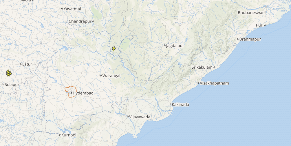
Click here to check the Live Lightning and Thunderstorm status over Odisha and Andhra Pradesh:
As on October 13, the sub-divisional rainfall distribution statistics show that Odisha and Andhra Pradesh are both rain surplus by 36% and 69%, respectively. In fact, if these rains remain subdued for long over these states, it is anticipated that the rainfall figures will become deficient.
Image Credit: odishasuntimes.com
Any information taken from here should be credited to skymetweather.com


