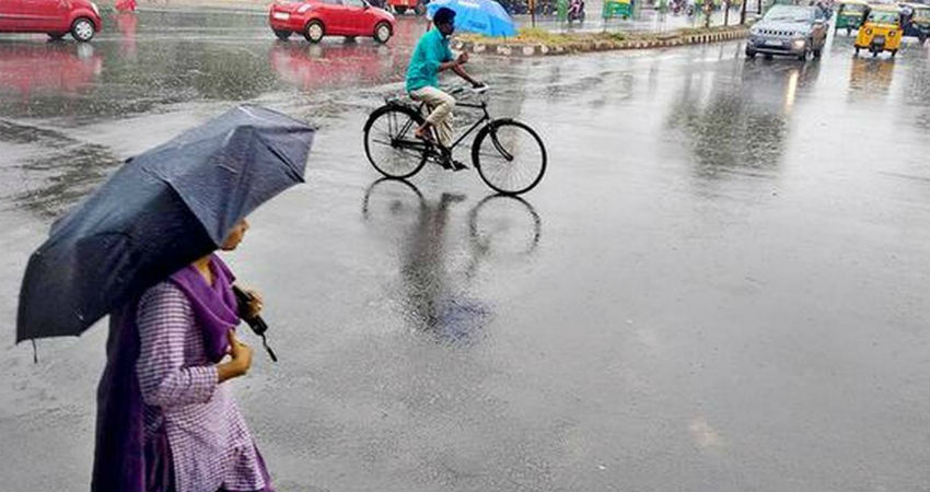
During the last 24 hours, scattered rains occurred over East Uttar Pradesh, Odisha and in isolated pockets of Bihar. While, Gorakhpur recorded 3 mm, Patna 2 mm, Bhagalpur 3 mm and Balasore 1 mm, Koenjhargarh 1 mm and Puri received 8 mm rains. Light rains occurred over Gopalpur.
Sub-Himalayan West Bengal and Sikkim also recorded rains during the last 24 hours. Darjeeling recorded 7 mm, Malda recorded light rains.
These rains are due to a Trough which is extending from Northeast Bihar to Vidarbha across Chhattisgarh and Jharkhand. Also, humid winds from Bay of Bengal are feeding moisture over the region.
Now, we expect patchy rains to continue over parts of Bihar, West Bengal and Odisha during the next few days. Thereafter, weather activities will subside. As these rains will be patchy in nature and will be observed only for a short duration, therefore we do not expect any major dip in temperatures. Temperatures will remain near the normal mark. There may be a gradual increase in day and night temperatures over all the eastern states of the country.
Usually, during the month of March, pre-Monsoon activities resumes over Eastern and Central parts of the country. However, the rain intensity remains light. The intensity of rains usually increases in the month of April. During this time, dust storm activities with isolated hailstorm are common over East India.
Image Credits- The Hindu
All information taken from here should be credited to Skymet Weather.


