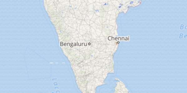
The month of April has been satisfactory for the state of Karnataka that has witnessed some light rains occasionally. However, in comparison with the coastal stations of the state, the interior parts of Karnataka recorded more rains.
Out of the interior regions also, the northern half of Interior Karnataka received more rains as compared with South Interior Karnataka. In fact, after witnessing on and off rains during the first few days of the month, even Bengaluru became dry.
Within the span of 24 hours from 08:30 am on Tuesday, Madikeri recorded 6 mm of rains, Devangere 3.5 mm, Belgaum 2 mm and Dharwad, Gadag and Haveri witnessed some traces of rains.
As per Skymet Weather, the reason for these rains is the trough passing through interior Karnataka which is originating from East Uttar Pradesh and terminating over interior Tamil Nadu.
[yuzo_related]
As the trough is likely to prevail, scattered rain and thundershowers are expected to continue over the north interior parts of Karnataka for the next 24 hours. However, the intensity of these rains would remain on the lower side. The weather of Bengaluru is expected to remain almost dry with partly cloudy skies only.
Click here to get the live lightning and thunderstorm status across Karnataka
Thereafter, by April 13, rains are expected to reduce over many parts of the state and only partly cloudy skies may prevail gradually leading to the commencement of dry weather again.
The maximums may once again rise marginally. However, around April 15, another spell of pre-Monsoon activity is expected to commence over North Interior Karnataka and isolated over the districts of South Interior parts of the state.
Image Credit: Wikipedia
Any information taken from here should be credited to skymetweather.com


