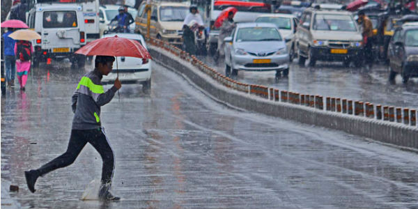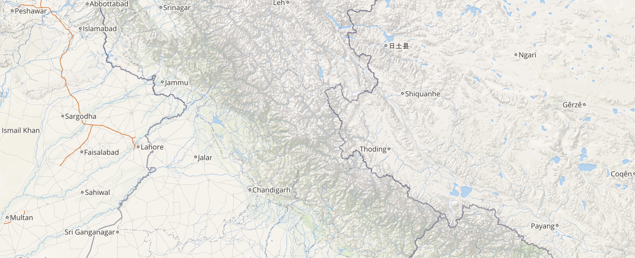
The winter rains have begun to show up in the hilly states of North India that remained dry until now. The last 24 hours proved to be rainy for the hills particularly for Jammu and Kashmir that received light spells. However, these rains escape most parts of Uttarakhand and Himachal Pradesh.
Now, also rains are likely to continue in parts of northern hills for the next 24 hours. Within the span of 24 hours from 08:30 am as on Tuesday, Jammu recorded 4.1 mm of rains, Kupwara 3.8 mm, Batote 3 mm, Katra 2.8 mm, Srinagar 2.2 mm, Banihal 1.7 mm, Bhaderwah 1 mm and Gulmarg witnessed 0.2 mm of rains.
[yuzo_related]
As per Skymet Weather, these rains can be attributed to the Western Disturbance which lies over North Pakistan as an upper air system. Moreover, the induced cyclonic circulation which is over central Pakistan and adjoining West Rajasthan has become unimportant.
Click here to get the live lightning and thunderstorm status across Northern hills
Due to this, rain is expected to continue occurring over parts of northern hills. In fact, the higher reaches of Jammu and Kashmir may even get to witness some snowfall while the lower reaches and plains may record some light rain and thundershowers.
These rains are likely to reduce for the next 24 hours and will reduce thereafter. However, in Himachal Pradesh, mainly the districts of western and northern parts of the state may get scattered light rains. The higher reaches of Uttarakhand may also witness scattered light for the next 24 hours.
Image Credit: Kashmirreader
Any information taken from here should be credited to skymetweather.com


