 The South Peninsular Indian region observes the least amount of rains after the passage of Northeast Monsoon. The month of February also follows a similar trend and rainfall activity remains far away from these areas. In fact, the temperatures are usually on a rising trend over the region.
If at all it rains during this period, it is due to the extension of the ITCZ northwards which has feeble cyclonic circulations embedded in it. Even after the extension, it is the southern parts of Tamil Nadu and some areas that record some rainfall activity.
[yuzo_related]
Currently, most parts of the state of Tamil Nadu are recording the maximum temperatures in the early 30s while some regions are also seeing the day temperatures in the mid 30s.
Check out the live lightning and thunderstorm status across Tamil Nadu

A cyclonic circulation at present is over South Bay of Bengal and adjoining Sri Lanka Coast. A trough is also extending from this system up to South Tamil Nadu. This system has already given moderate rains over Nancowry to the tune of 16 mm in the last 24 hours.
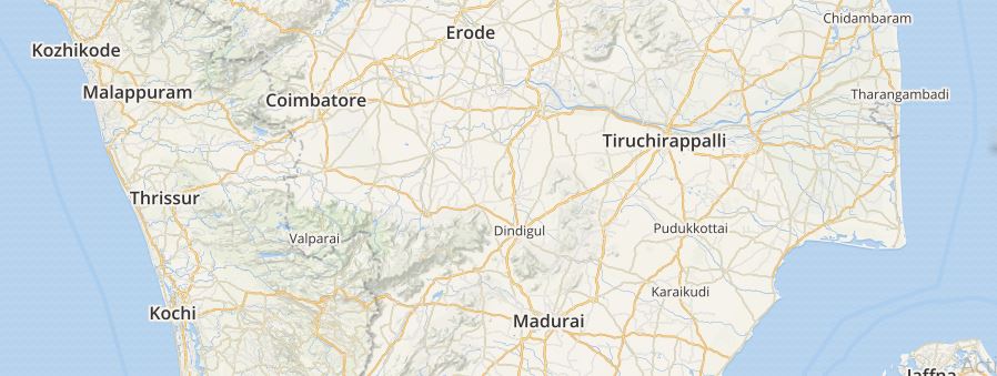
Now, the southern parts of Tamil Nadu are expected to witness light rainfall activity. Both the south interior and south coastal region in Tamil Nadu are expected to witness some rains. Meanwhile, Chennai is expected to remain dry. These rainfall activities are expected to continue until the first few days of March as well.
Image Credit:
Please Note: Any information picked from here must be attributed to skymetweather.com


