At present, the state of Madhya Pradesh is witnessing dry and warm weather. A fresh Western Disturbance is now likely to approach Western Himalayas on March 2, which will induce a Cyclonic Circulation over Western parts of Rajasthan. A trough is likely to extend from this system up to North Madhya Pradesh. Simultaneously, a Confluence Zone will develop over Southern parts of Madhya Pradesh leading to southeasterly winds meeting dry and cool northwesterly winds.
This confluence will lead to scattered light rains over northern, southern as well as western parts of Madhya Pradesh by March 2. In North Madhya Pradesh, places like Guna, Gwalior, Tikamgarh and Morena will receive light rains whereas places like that of Hoshangabad, Betul and Khandwa may receive isolated rains down South. Weather of Central and East Madhya Pradesh, however will remain dry.
By March 3, weather will start clearing up, over Western parts of the Madhya Pradesh. Scattered rains may occur over East Madhya Pradesh by March 4. These weather systems will become insignificant and weather will start clearing up over entire Madhya Pradesh.
On March 4 and 5, we expect dry and cool winds from North to commence once again over the state, leading to drop in minimums by two to three degree Celsius but the fall in temperatures will not be very significant this time.
By March 6 and 7, we expect, that there will be significant increase in day temperatures and the state will bid farewell to Winters. Summers will commence as temperatures will start increasing.
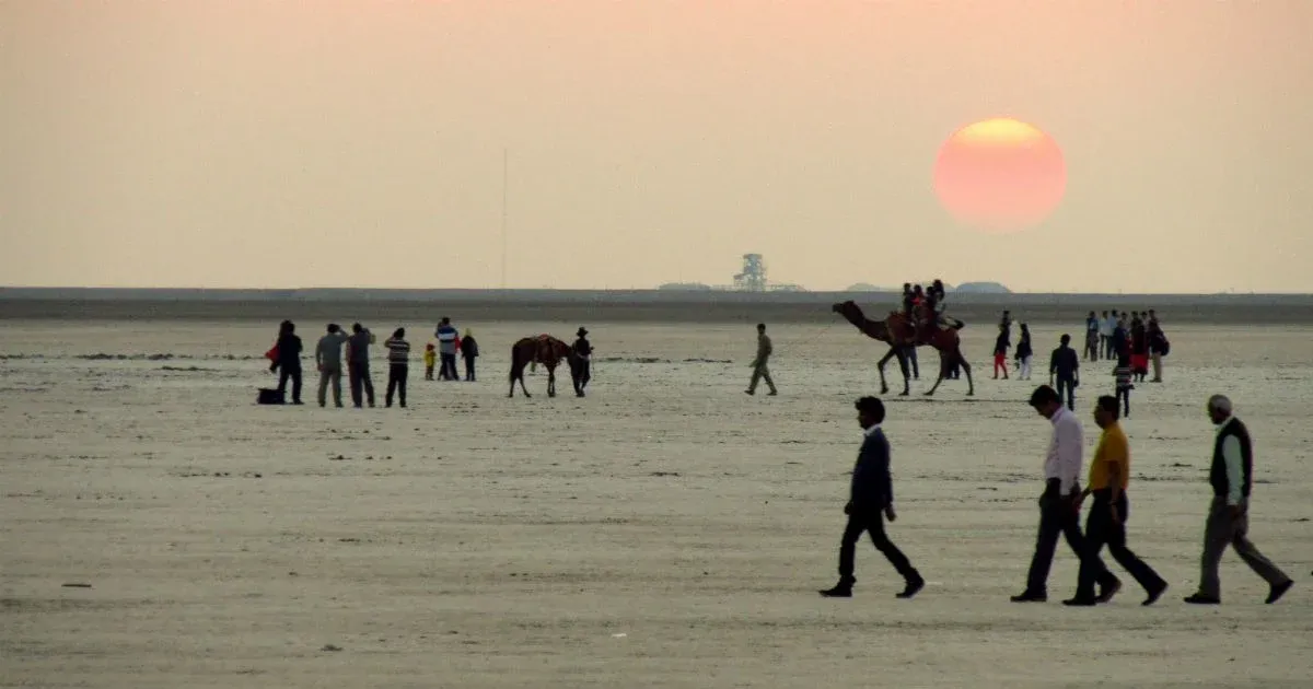
Image Credits – Shyamji Tours
Any information taken from here should be credited to Skymet Weather


