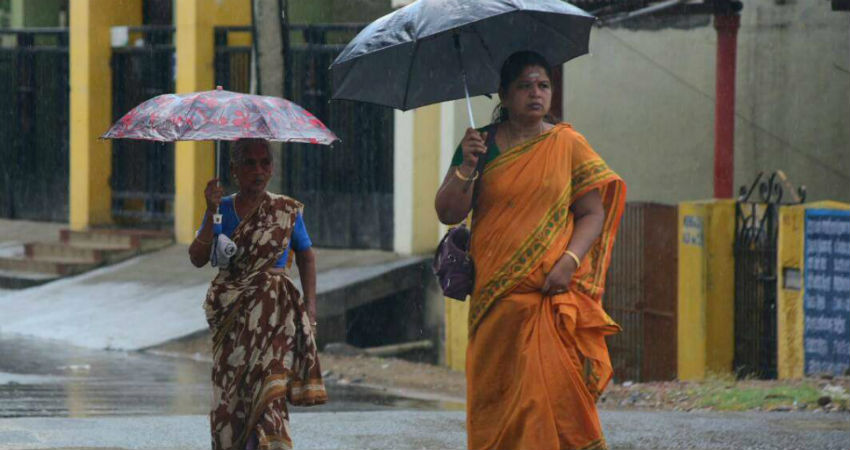
In the last 24 hours, weather is running mainly dry over Chennai. However, chances are favorable for the city to receive rains anytime soon.
At present, a Cyclonic Circulation lies over South Andhra Pradesh coast and adjoining areas. Therefore, once again the rainfall activity is expected to pick up over southern parts of Andhra Pradesh and northern parts of Tamil Nadu during the next 24 hours.
The rains will further enhance thereafter as the Cyclonic Circulation is likely to move towards North. The Trough from this system is likely to move over Southwest parts of the system with height.
According to a Weather Alert rolled out by Skymet-
Light to moderate rain and thundershowers at some places with isolated heavy and gusty strong winds will occur over Karaikal, Puducherry, Ariyalur, Chennai, Coimbatore, Cuddalore, Dharmapuri, Dindigul, Erode, Kancheepuram, Karur, Krishnagiri, Nagapattinam, Namakkal, Perambalur, Pudukkottai, Salem, Thanjavur, Thiruvallur, Thiruvarur, Tiruchirappalli, Tiruppur, Tiruvannamalai, Vellore and Viluppuram districts of Tamil Nadu during the next 2 to 4 hours.
Apart from Chennai, rainfall activity is likely along Western and North Interior parts of Tamil Nadu. Scattered light rainfall is also expected over Nilgiri and South coast of Tamil Nadu. The rainfall activity is likely to continue over Tamil Nadu during the next 48 to 72 hours.
On the contrary, being a rain shadow area, normally, Chennai gets less rainfall during this period. Temperature is also comparatively lower and the days are mainly comfortable.
As of now, Chennai has received 505.6 mm in the season. This is 29% excess rainfall than the normal. Moreover, this Wednesday Chennai has recorded the highest rainfall of the year at 104 mm. This is the highest it has recorded since 2011.
Image Credits – India Today
Any information taken from here should be credited to Skymet Weather


