
Since last many days, good rains have been lashing several districts of Assam, Meghalaya, Arunachal Pradesh and NMMT (Nagaland, Manipur, Mizoram and Tripura) region. However, the rainfall activities have been witnessing a declining trend now. Besides this, many parts of the state have been observing light rains while only a few places over Northeast India have been witnessing moderate spells.
In a span of last 24 hours from 8:30 am on Monday,Tinsukiarecorded rainfall to the tune of 40 mm, followed byRangia32 mm,North Lakhimpur 16 mm, Passighat 14.2 mm,Kohima8 mm, Tangla 6 mm,Golaghat5 mm, Itanagar 2 mm and Golpara andTezpur1 mm.
[yuzo_related]
These weather conditions can be attributed to a cyclonic circulation which was seen over northeastern states has moved away. A trough is seen extending from Nagaland, Manipur, Mizoram and Tripura up to Sub-Himalayan West Bengal across Bangladesh.
Due to this trough, light rains with isolated moderate spells are expected to continue over East Assam, a few parts of Arunachal Pradesh, Nagaland, Manipur, Mizoram and Tripura during the next 24 hours.
After 24 hours, the intensity of these rain and thundershowers are further likely to reduce significantly over the aforementioned regions.
Click here to check the Live Lightning and Thunderstorm status over Northeast India:
Mornings are expected to remain cool in the hilly regions of Northeast India while afternoons are likely to become warm with rising in temperatures. During this period, sky conditions are likely to turn partly cloudy over most parts of the state for next few days.
Along with this, fog and mist are possible during the morning hours in many parts of Assam, Meghalaya and Tripura.
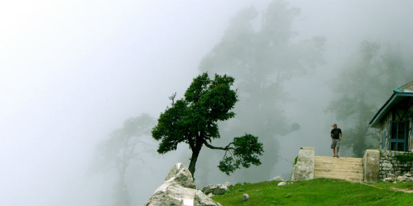
Image Credit: him.co.in
Any information taken from here should be credited to skymetweather.com


