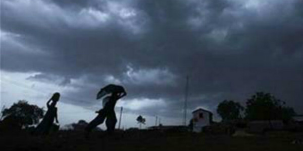
For the past few days, the weather has remained mainly dry in parts of North Indian plains. However, weather conditions have once again become favourable for good Monsoon showers.
In fact, isolated rains were also seen during the last 24 hours. In a span of 24 hours from 8:30 am on Monday, Ludhiana recorded 13 mm of rain, Hisar 1 mm and Karnal 1 mm.
[yuzo_related]
As the depression is moving inland, it is increasing the flow of easterly winds over entire Northern Plains including Punjab and Haryana. Also, a Western Disturbance is moving away which is why scattered rains are likely during the next 24 hours.
Not only this, by July 20 and 21, the trough which is running from Northwest Rajasthan is expected to shift northwards thus increasing the rain intensity and spread over both Punjab and Haryana.
Gradually, the eastern end of the trough which is at present over Madhya Pradesh and Chhattisgarh will also shift northwards increasing rains over entire Indo-Gangetic Plains.
Check out the latest lightning and thunderstorm status across Punjab and Haryana
According to Skymet weather experts, Monsoon is likely to be active in the eastern part of Delhi, Eastern Haryana and Punjab July 19 evening onward. Not only this, there is a possibility of light to moderate rains in the aforementioned areas between July 19 to July 23.
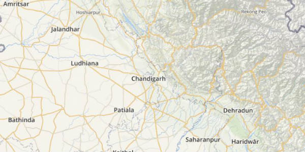
Thus, light to moderate rainfall is expected in Ludhiana, Chandigarh, Patiala, Bathinda. Rewari, Gurugram, Bhiwani and Rohtak of Haryana may see light to moderate rainfall activity between July 20-23.
Until now, Punjab has witnessed 17 percent surplus rains while Haryana is witnessing a rainfall surplus of 24 percent.
Image credit: ndtv.com
Any information taken from here should be credited to skymetweather.com


