After a prolonged dry spell due to weak Northeast Monsoon, the coastal areas of Tamil Nadu received scattered light rains on December 16 and 17. Rains took a break once again on December 18. As per Skymet Weather, a trough is extending from Northwest Bay of Bengal to southwest Bay of Bengal near Tamil Nadu coast.
[yuzo_related]
A cyclonic circulation is seen over South Andaman Sea and a trough is also extending from this system up to Tamil Nadu coast. Due to the influence of these combined weather systems, light rain is expected to commence over coastal areas of Tamil Nadu December 19 onward. On and off rains are likely to continue until December 22.
The intensity or spread of rains may increase on December 21. It is expected that few interior districts of Tamil Nadu may also receive light to moderate rain and thundershower activities. During this time,Chennairains may also make a comeback.
Click the image below to see the live lightning and thunderstorm across Tamil Nadu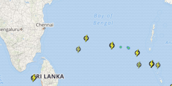
Light to moderate spells are anticipated over the capital city of Tamil Nadu. Moreover, places such asPuducherry,Cuddalore,Karaikal,Parangipettai, and Thanjavur are expected to witness rains. However, there is no need to panic as heavy to very heavy rains are not in the forecast and usual pattern of Northeast Monsoon rains would appear.
The weak phase of Northeast Monsoon is expected to revitalize during the next few days. As per weathermen, a low-pressure area is expected to develop over South Andaman Sea around Christmas, however, we will have to wait and see whether it will travel towards Tamil Nadu Coast or recurve towards North Bay of Bengal.
IMAGE CREDIT:thehindu.com
Any information taken from here should be credited to skymetweather.com