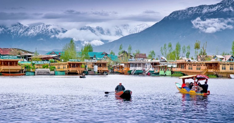
First active Western disturbance of the pre monsoon season has approached the Western Himalayas. We have not seen any significant of Western disturbance in the month of March and during first 11 days of April. Rain activities have commenced over many parts of Western Himalayas.
Dehradun also received showers during the evening of April 13th. Heat wave has abated Jammu division, Himachal Pradesh and Uttarakhand. Temperatures have subsided to some extent over Northwest India as well. First pre monsoon dust storm activities were witnessed over parts of North Rajasthan. Places like Nagaur, Churu, Bikaner and Jhunjhunu recorded thunderstorm and dust storm leading to drop in temperatures.
Isolated pockets of Southwest Haryana also witnessed mild dust storm. Now conditions are favourable for isolated pre-monsoon activities over parts of Punjab, Haryana, North Rajasthan, Delhi and isolated pockets of West Uttar Pradesh during the next 24 hours.
Latter half of April and May witness increased pre monsoon activities over Northwest India which may give occasional relief from ongoing hot weather conditions. The month of May is the hottest in terms of maximum temperatures and usually witness heavy thunderstorm, dust storm and scattered hailstorm activities.
These pre monsoon activities bring down the temperature and give occasional relief. This year, the month of March and the first half of April have witnessed prolonged heat wave spell. We have to wait and see how month of May turns out to be.


