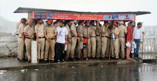
Northwestern Plains of the country including Punjab and Haryana have not been witnessing good monsoon rains since the beginning of Monsoon season. Now also, rains are in patches over parts of Haryana and Punjab and last for short duration only.
[yuzo_related]
Almost 45 days of Monsoon have passed by, but Northwest India has been receiving pre-Monsoon like rainfall activities. Some good showers have been seen in Punjab and the state is rain surplus by 20% but Haryana remains rain deficient by 20%.
In Punjab, despite of surplus rains, only the northern districts have been witnessing rains, due to the on and off approach of Western Disturbance and continues flow of easterly humid winds.
During the last 24 hours, also Ludhiana, Patiala and Chandigarh received moderate to heavy showers. In fact, isolated parts of Haryana witnessed heavy showers.
In the last 24 hours from 08:30 am on Monday, Karnal recorded heavy rains 87 mm of rain, Chandigarh 21 mm, followed by Hisar and Patiala 13 mm, Ludhiana 8 mm.
The reason for these rains over Haryana and Punjab can be attributed to the axis of Monsoon trough which is running south of Haryana since last many days. Further we expect the axis of Monsoon trough to gradually shift northwards in the next 48 hours and rains will increase over both the states of Haryana and Punjab.
Rain and thundershowers are expected over many places such as Ambala, Jind, Kaithal, Karnal, Kurukshetra, Panipat, Rohtak, Sonipat, Barnala, Fatehgarh Sahib, Gurdaspur, Hoshiarpur, Jalandhar, Kapurthala, Ludhiana, Mansa, Moga, Patiala, Rupnagar, Sahibzada Ajit Singh Nagar, Sangrur and Shahid Bhagat Singh Nagar the districts of Haryana and Punjab during next 4-6 hours.
Image Credit: YouTube
Any information taken from here should be credited to skymetweather.com


