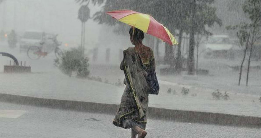
Odisha has been witnessing fairly widespread rain and thundershowers for the last two to three days. Moreover, moderate to heavy rains were witnessed with isolated hailstorm activities in multiple districts of the state during the last 24 hours. Strong winds and lightning strikes also lashed many parts.
The reason behind these rains activities can be attributed to multiple weather systems affecting the region. A Trough was extending from East Uttar Pradesh to Bangladesh. Moreover, another Trough was extending from Sub-Himalayan West Bengal to Odisha coast. Also, humid winds from Bay of Bengal were increasing moisture over Odisha leading to these intense weather activities.
Now, the Confluence Zone has shifted towards East. The Trough has shifted Northwards. The wind profile has also changed.
Therefore, we expect the rain activities to reduce significantly over Odisha. However, isolated light to moderate rains and thundershowers will continue over coastal districts of the state. The interior districts will remain dry. The temperatures which have dropped by five to seven degrees will once again start increasing. There will be a gradual increase in temperatures during the next two to three days.
This will be the last rainy spell over the state in the month of February. We expect the weather to go completely dry after 24 hours over entire Odisha.
Image Credits – India Times
Any information taken from here should be credited to Skymet Weather


