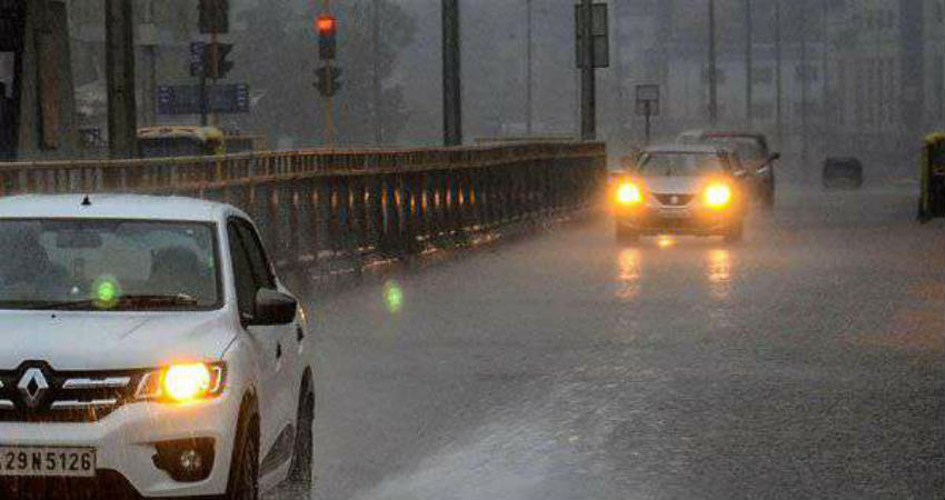
During the last 24 hours, moderate to heavy rains were seen over many parts of Chhattisgarh. Scattered light rains were seen over eastern parts of Madhya Pradesh while western parts of the state remained almost dry. These unseasonal rains have been going on over the eastern parts of Madhya Pradesh and Chhattisgarh since the last few days.
In a span of 24 hours from 8:30 am on Thursday, Mana witnessed 40 mm of rains, Durg 25 mm, Rajnanadgaon 16 mm, Bilaspur 4 mm, Malajkhand 3 mm.
Talking about the rain statistics until February 6, East Madhya Pradesh is at present rain surplus by 110 percent with 39.9 mm of rains against 19 mm rainfall. West Madhya Pradesh is rain surplus by 63 percent at 12.1 mm against 7.4 mm. Meanwhile, Chhattisgarh is rain surplus by 153 percent with 33.4 mm of rains against its normal of 13.2 mm.
Presently, a Cyclonic Circulation is seen over interior parts of Odisha and a Trough is extending up to Madhya Maharashtra from this weather system where another system is persisting. Therefore, we expect light to moderate rains with few heavy spells are expected overChhattisgarh and southeastern parts of Madhya Pradeshtoday. There are chances of hailstorm as well as lightning strikes over Chhattisgarh in the next 24 hours.
By tomorrow, this weather system will move in southern direction towards Telangana, Vidarbha andMarathwadaleading in reduction in rains over Madhya Pradesh and Chhattisgarh.
Due to these weather activities, maximum temperatures will see a fall by 3-4 degrees and will remain below normal for another two days. Thereafter, there will be gradual increase in maximum temperatures, and minimums will also remain above normal during this period.
This may be the last good rainy spell of February over East Madhya Pradesh and Chhattisgarh. Thereafter, weather will almost become dry. Although isolated rains may occur during later part of February due to the formation of a Confluence Zone, but intense showers will not be seen.
Image Credit: NDTV
Please Note: Any information picked from here must be attributed to skymetweather.com


