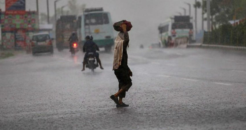
The state of Rajasthan is gearing up for afresh spell of rain and thundershower activities.A Western Disturbance (presently over North Pakistan) can be seen approaching the Western Himalayas, which will induce a Cyclonic Circulation over the northern parts of Rajasthan. Moreover, a Trough is likely to form across West Rajasthan and adjoining Pakistan.
The combined effect of all these systems would giverain and thundershower activities in the northern and adjoining eastern parts of Rajasthanfrom tomorrow afternoon or evening hours. These rainfall activities would be accompanied by strong gusty winds.
The intensity would be mainly light with a few moderate spells as expected in Churu, Sikar, Hanumangarh and Alwar. After some time, rains would cover central and adjoining northern parts as well such asJodhpur, Bikaner, andPhalodi.
These rains would be short-lived and continue for the next three days, commencing from tomorrow, with increased intensity on November 26. Moreover, the cold winds would blow, which would lead to a drop in the temperatures.
The weather of Rajasthan remained dry during the last 24 hours. This is because an Anti-Cyclone was persisting over East Rajasthan. Not much change is likely today, as the day will remain warm with sunny sky. However, as soon as the Western Disturbance approaches the northern hills, the rainfall activities would commence in Rajasthan.
Image Credits – News State
Any information taken from here should be credited to Skymet Weather


