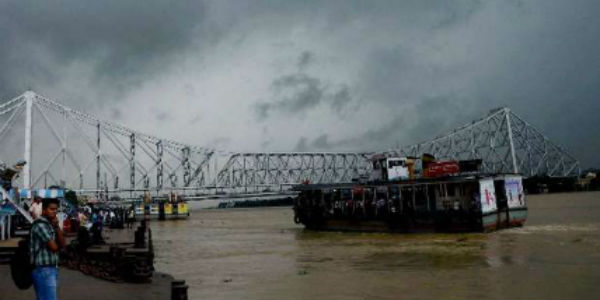
After a gap of two to three days, rains are expected to increase over most parts of East India. These rains will be a result of an east-west trough extending from Uttar Pradesh upto Gangetic West Bengal across South Bihar and Jharkhand. A confluence zone has also developed which is running from Gangetic West Bengal upto Coastal Andhra Pradesh across Odisha.
In view of these systems, we expect scattered light to moderate rain and thundershower activities over Jharkhand, Odisha and Gangetic West Bengal during the next 24 hours. There are also chances of lightning strike and gusty winds.
Thereafter, rains will decrease over Jharkhand and Gangetic West Bengal. While North Odisha will continue to receive light to moderate rains with few heavy showers. Isolated hailstorm activity cannot be ruled out over northern parts of Odisha and Gangetic West Bengal.
In 48 hours, rainfall activity will reduce over entire East India and the weather will start clearing up. By March 7, the rain belt will shift over to the northeastern states.
During the rainy period, we also expect drop in day temperatures particularly over parts of Gangetic West Bengal, Jharkhand and Odisha. But again, from March 7, temperatures will start increasing.
Thus, we can say that this will be the last good spell of rain for the eastern parts of India. The departure of these rains will also mark the commencement of summer season over East India, as March 7 onward, significant rise in day temperatures will be observed.
Image Credit: Pininterest
Please Note: Any information picked from here must be attributed to skymetweather.com


