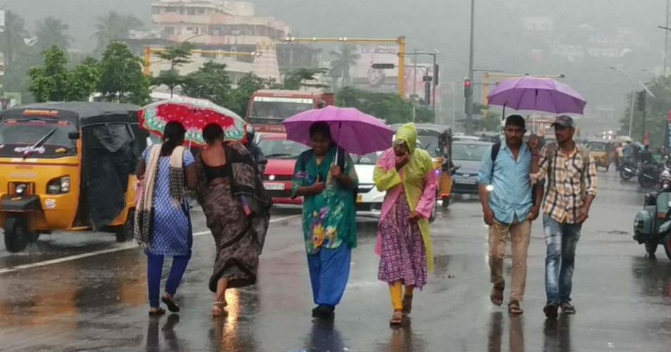
February is the leanest month for South India in terms of rainfall. This is because the intensity and frequency of weather systems over Bay of Bengal and Arabian sea reduce during this time. In fact, rains are almost a negligible sight and it is only due to the formation of North-South Trough or a Confluence zone, that some rains occur, otherwise the weather remains mostly dry.
Due to the formation of trough, scattered light rains were observed over Coastal Tamil Nadu as well as over southern districts of Kerala in the last week. However, the intensity remained light. Likewise, the city of Chennai reported isolated light rains during this period.
At present, a Confluence zone has developed over South India, which is extending from Telangana to Kerala across Rayalaseema and interior Karnataka. The confluence zone is that area where two opposite winds meet. Thus, humid winds from Bay of Bengal are merging with dry and cool winds from northwest directions. Due to this merging, we expect some activities over South Peninsula in the coming two days.
In wake of above system, scattered thundershower and thunderstorm activities may occur over Rayalaseema, South Interior Karnataka, parts of Kerala and Interior Tamil Nadu during next two days. Moreover, intensity will remain mostly light, however at one or two moderate spells may occur.
The bad news is, these rains will not help in anyway in improving rain deficiency. Moreover, areas such as coastal Karnataka, coastal Tamil Nadu as well as coastal Andhra Pradesh will remain completely untouched by these rains and thus rain deficiency will remain intact here.
Talking about temperatures, minimums may increase marginally over coastal Tamil Nadu and coastal Andhra Pradesh while a drop by 1℃ to 2℃ in minimums is possible over North interior Karnataka.
Image Credits – Pinterest
Any information taken from here should be credited to Skymet Weather


