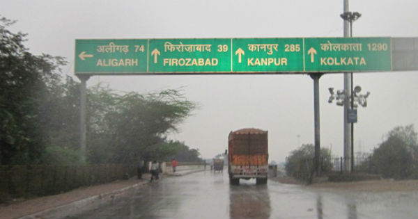
The northwestern states of India have been observing on and off light to moderate rains accompanied with isolated hailstorm since the beginning of February. During the last 24 hours also, isolated light rains were witnessed over the northern parts of Punjab, Haryana and West Uttar Pradesh.
At present, Punjab is the only state in Northwest India which is largely rain surplus by 106%. Meanwhile, West Uttar Pradesh is surplus by 22%. On the other hand, Haryana and West Rajasthan have received normal rains with a deficiency of mere 1%.
Now the ongoing Western Disturbance has moved away eastwards and cold winds from northwest direction have commenced over the region. Due to this, minimums have dropped significantly over most parts of Punjab, Haryana, Delhi, Rajasthan and Uttar Pradesh.
Now today and on March 1, weather will remain almost dry. However, this clear weather will only be short lived, as another weather system which is waiting in wings would once again effect by March 2.
This system would induce a cyclonic circulation over Central Pakistan and adjoining Rajasthan. Thus, scattered rain and thundershowers will commence initially over Rajasthan and North Punjab. Thereafter by the afternoon or evening of March 2, many parts of Punjab, Haryana and Rajasthan will start receiving rain and thundershowers. Isolated hailstorm is also possible.
Delhi and West Uttar Pradesh will receive scattered thundershower activities only. This will be a fast-moving weather system, therefore by March 4, the weather will once again clear up. So, we expect that drop-in minimums to get arrested and they will rise once again.
Image Credit: Pininterest
Please Note: Any information picked from here must be attributed to skymetweather.com


