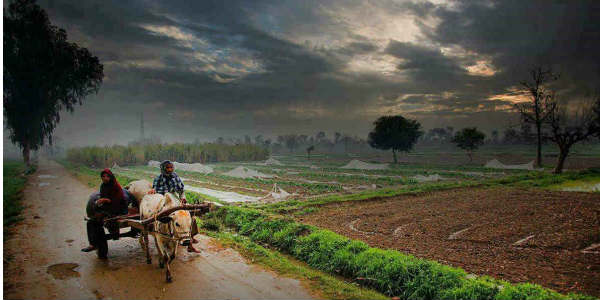
The month of November is one of the driest months for the state of Uttar Pradesh. Since October 1, East Uttar Pradesh is almost dry with a deficiency of 99 %. Meanwhile, West Uttar Pradesh has received light rainfall activity occasionally but is still deficient by 85%.
During the last 24 hours, scattered rainfall activity occurred over western parts of Uttar Pradesh. These rains occurred due to the formation of an induced cyclonic circulation over West Rajasthan. Due to this weather system, conductive clouds formed over West Rajasthan and moved towards east covering Delhi-NCR region and western parts of the state.
Moreover, at present a Western Disturbance is also persisting over Jammu and Kashmir. Thus, we can also say that these rains were a result of combined influence of Western Disturbance and its induced cyclonic circulation.
Further, we expect scattered rains to continue over west and central parts of Uttar Pradesh until today evening. Thereafter, weather will become dry. However, isolated rains cannot be ruled out for tomorrow evening over western parts of Uttar Pradesh.
Rain and thundershower activities are expected to occur over Udham Singh Nagar, Badaun, Bareilly, Bijnor, Bulandshahr, Gautam Buddha Nagar, Ghaziabad, Hapur, Jyotiba Phule Nagar, Meerut, Moradabad, Muzaffarnagar, Pilibhit, Rampur, Sambal and Shahjahanpur during next the 2 to 3 hours.
Image Credit: Pininterest
Please Note: Any information picked from here must be attributed to skymetweather.com


