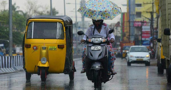
The jinx of the dry spell over Tamil Nadu broke when some light rains appeared over the state during the last two days. However, these rains were mainly remained confined to the southern coastal stations of the state. Meanwhile, the north coastal districts of Tamil Nadu includingChennai remained dry.
Within the span of 24 hours, from 08:30 am on Tuesday,Karaikalrecorded good rains to the tune of 25 mm, followed byMaduraiat 15.2 mm,Kodaikanal5 mm, Nagapattinam 5 mm, andTiruchirappalliwitnessed some traces of rains. On the contrary, Chennai being a north coastal station failed to record any rains.
[yuzo_related]
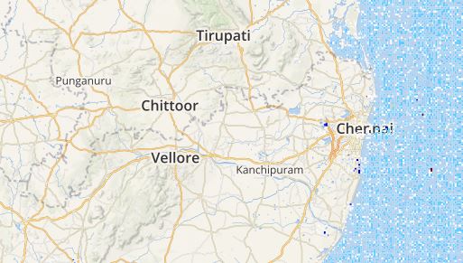
As per Skymet Weather, a trough is extending from Madhya Pradesh to South Tamil Nadu. Therefore, we expect few moderate showers to occur over the interior districts of the state. However, the intensity of rains will be more over the southernmost stations of Tamil Nadu and over Nilgiri hills of Ooty, Kodaikanal, Kanyakumari, Tuticorin, and Tondi.
Click here to get the live lightning and thunderstorm status across Tamil Nadu
The north coastal regions of the state would remain almost dry, but the sky may become partly cloudy at a time. However, Chennai rains may revive, and the city may witness the first spell of pre-Monsoon showers around May 25.
The rains would start decreasing May 27 onwards for two to three days as a low-pressure area is expected to develop over the west-central Bay of Bengal and it will move in a north-northeasterly direction, gradually intensifying. This weather system would pull away the moisture from the Southern Peninsular region, leading to a reduction in rains.
ImageCredit: Wikipedia
Any information taken from here should be credited to skymetweather.com