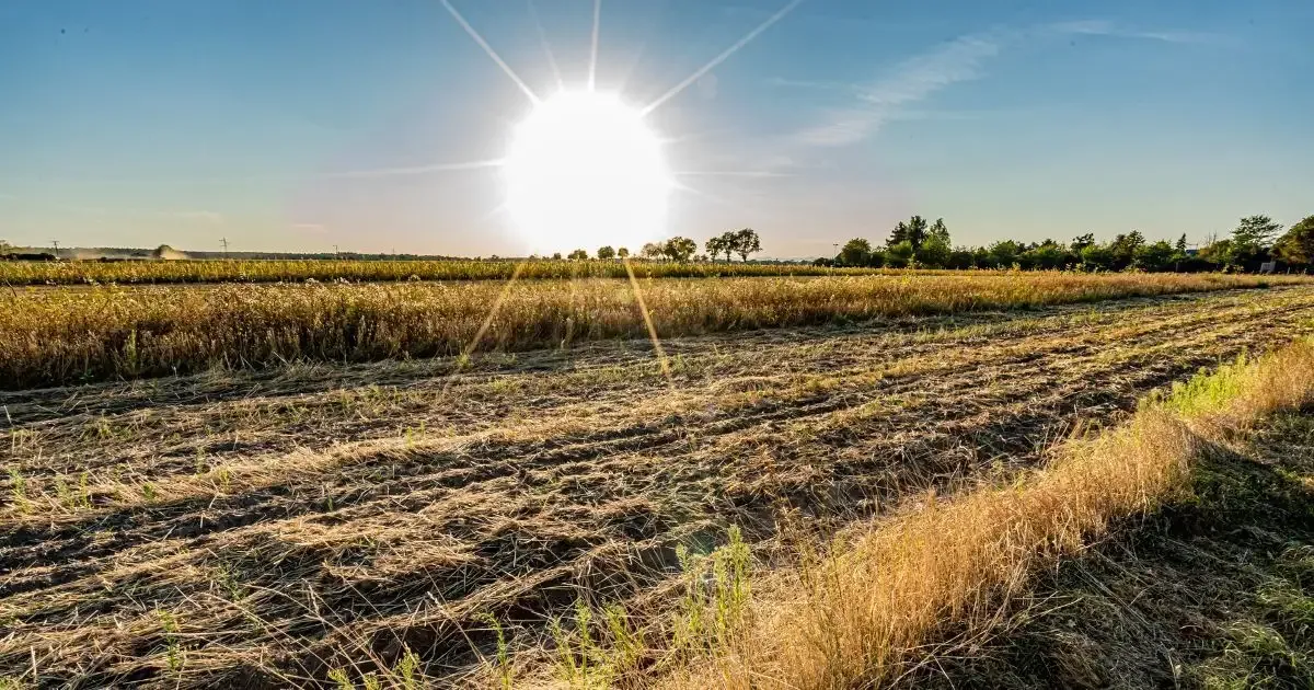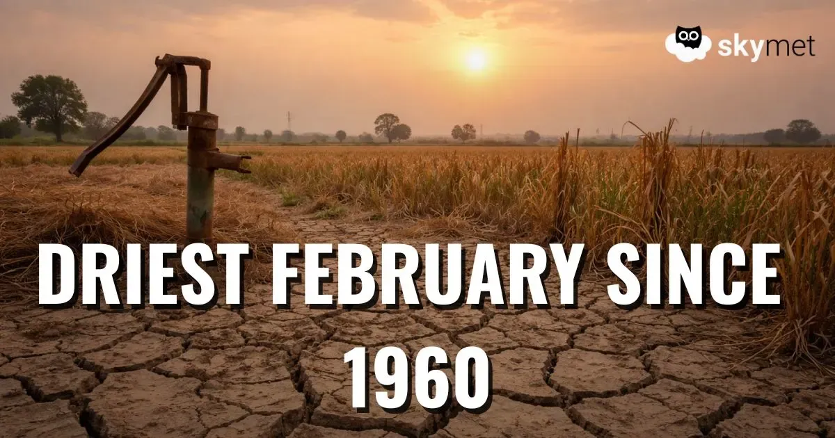
The entire state of West Bengal has been receiving dry weather conditions since the last many days. Similarly, during the last 24 hours also the weather over most parts of the state remained dry. Further also during the next 24 hours dry weather will prevail in West Bengal.
However now after this prolonged dry spell, after the next 24 hours, rainfall activity is expected to occur over few parts of Gangetic West Bengal. Meanwhile, clouding is expected to increase over the costal stations such as South 24 Parganas and Midnapore, tomorrow evening onwards.
In fact, later on clouding will towards most parts of Gangetic West Bengal. In wake of this, minimum temperatures will rise and gradual drop in day temperatures will be observed.
At present, a cyclonic circulation now lies over West central Bay of Bengal. A trough is extending from this system up to northern parts of Bay of Bengal.
Along with this, a low-pressure area is expected to form over Central Bay of Bengal and adjoining areas during the next 48 hours. This system is further expected to move towards north/northeast.
Thus, we can say that, after 24 hours, rainfall activity is expected over places such as South 24 Parganas and Midnapore and gradually over the interior parts of West Bengal as well.
All the places in Sub-Himalayan West Bengal are expected to witness dry weather conditions with partly cloudy sky. Meanwhile, Sikkim may receive isolated rain and thundershower activity. Isolated fog may also occur Cooch Behar and its nearby areas.
Talking about the capital city, Kolkata, maximum temperatures will drop, and minimums will rise marginally. We can also say that, after a long dry spell rain is likely over Kolkata, after the next 24 hours. Southern parts of Kolkata may also see few moderate spells.
Image Credits – Pininterest
Please Note: Any information picked from here must be attributed to skymetweather.com


