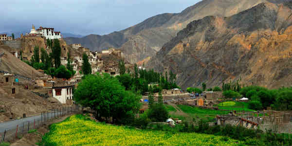
The hills of North India - Jammu and Kashmir, Himachal Pradesh, and Uttarakhand have been receiving good rainfall activity since past few days. In fact, upper reaches of Himachal Pradesh and Uttarakhand received snowfall.
[yuzo_related]
In the last 24 hours from 08:30 am on Tuesday, rainfall recorded over the hills of the north India were as follows -

Currently, the Western Disturbance over Jammu and Kashmir that has been giving rains and thundershowers, has weakened. It is seen moving away eastwards. Rainfall intensity has already decreased over the Western Himalayas but due to the remnants of the system, we can expect few spells of rain and thundershowers over the hills of North India today also.
However, weather activities will be seen diminishing May 10 onwards and the weather is expected to go almost dry by May 11.
Further, on May 12, we expect clouding to develop as a fresh Western Disturbance will be seen arriving. Therefore, we expect rain and thundershower activities to commence once again over the hilly states by May 13 and are expected to continue for next 4-5 days.
Moreover, talking about the temperatures, due to the continuous weather activities both minimum and maximum temperatures have remained below normal. But now as the weather activities will decrease we will expect rise in temperatures.
IMAGE CREDIT: Wikipedia.org
Any information taken from here should be credited to skymetweather.com


