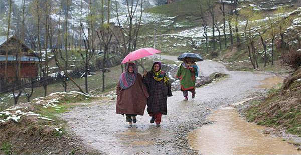
As predicted by Skymet Weather, isolated light rain and thundershower activities were witnessed over the higher reaches of Jammu and Kashmir and Himachal Pradesh. In the last 24 hours from 08:30 am on Wednesday, Pahalgam recorded 2.1 mm of rain and Kalpa 1 mm. Meanwhile, Uttarakhand remained almost dry.
At present a Western Disturbance lies over Jammu and Kashmir. Another Western Disturbance as a trough in the mid-tropospheric levels is also seen approaching the hills of North India. Along with this, an induced cyclonic circulation is seen over Northeast Rajasthan.
Due to the combined effect of all these weather systems, today we expect rain and thundershowers activities to increase over most parts of Jammu and Kashmir and Himachal Pradesh along with few parts of Uttarakhand.
On April 11 and 12, the approaching Western Disturbance is likely to cause fairly widespread rain and thundershowers with isolated thunderstorms and strong gusty winds over Jammu and Kashmir. In fact, isolated to scattered rains will occur over Himachal Pradesh and Uttarakhand.
Few upper reaches in all these states may also witness snowfall activity during this period. Isolated hailstorms are likely over these regions tomorrow.
Thereafter, from April 13, rains will start vacating the Western Himalayas and weather will once again become dry in Jammu and Kashmir, Himachal Pradesh and Uttarakhand.
Image Credit: Wikipedia
Please Note: Any information picked from here must be attributed to skymetweather.com


