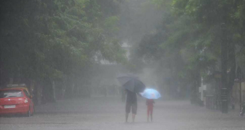
Plains of Northwest India are all set to witness fresh spell of rain and thundershowers, commencing November 6. There are chances of hailstorm as well. After a long gap, it would be an active spell that would also be widespread in nature. All thanks to approaching Extremely Severe Cyclonic Storm Maha and Western Disturbance over Western Himalayas.
The upcoming spell is much awaited one as it would be the key to bring massive relief from air pollution which has made the region a living hell.
According to Skymet Weather, an active Western Disturbance is seen over Jammu and Kashmir and adjoining Pakistan. Its induced likely to induce a cyclonic circulation over Central Pakistan and adjoining West Rajasthan.
Besides this, the Severe Cyclonic Storm Maha over eastcentral & adjoining northeast Arabian Sea is also inching closer to Gujarat coast. It is presently centered near Latitude 19.8°N and Longitude 66.3°E, about 400 km west-southwest of Porbandar, 440 km westsouthwest of Veraval and 490 km westsouthwest of Diu.
According to weathermen at Skymet Weather, all these system are going to interact with each other, resulting in widespread rainfall across the northwestern plains along with parts of Gujarat and West Madhya Pradesh during the next 48 hours. Delhi, Punjab, and Haryana would see scattered light to moderate rainfall between November 6-8.
Rains are likely to make an appearance over parts of the region from tonight. Intensity of rains would peak on November 7. While northern plains would see moderate rains, parts of Rajasthan and Gujarat are likely to see moderate rains with few heavy spells on November 7.
These showers would also set in pace for winters in the region. At present, we can see nip in the air only during the late night and early morning hours. However, with snowfall in the hills, winters would slowly and steadily grip the northwestern plains.
Image Credit: wikipedia
Please Note: Any information picked from here must be attributed to skymetweather.com


