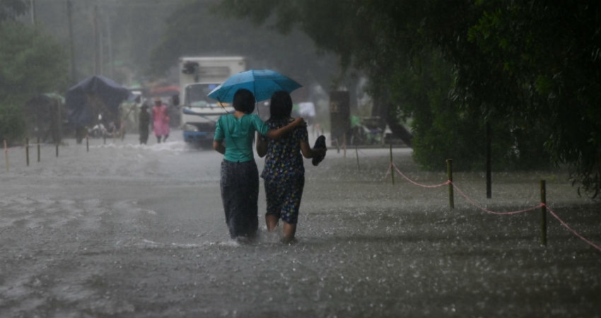
An induced cyclonic circulation in the wake of successive western disturbances may lead to rain and thundershower activities across the North and East Rajasthan and Madhya Pradesh. Chances of hailstorm in isolated pockets cannot be ruled out.
The northwesterly winds will merge with south easterly humid winds over central parts of the country. A trough or wind discontinuity will develop from Southeast Uttar Pradesh to Madhya Maharashtra across Madhya Pradesh. These weather parameters will lead to scattered rain and thundershowers over many parts of Rajasthan such as Hanumangarh, Churu, Jhunjhunu, Alwar, Bharatpur, Dhaulpur, Jaipur, Sikar, Karauli, Dausa and Sawai Madhopur. In Madhya Pradesh, rain and thundershower may occur over Gwalior, Morena, Bhind, Datiya, Shivpuri, Tikamgarh, Guna, Chhatarpur, Satna, Rewa, Sidhi, Shahdol, Umaria, Panna, Katni, Jabalpur and Dindori.
During the last 24 hours, rain and thunderstorm with isolated hailstorm were witnessed over parts of northeast Rajasthan and isolated pockets of northwest Rajasthan.
The eastern districts of Rajasthan and Madhya Pradesh seldom receives rainfall in the month of March. Pre-Monsoon activities usually commences in the month of April when temperatures cross 40 degrees in most places, in the form of the dust storm, thunderstorm and light rain. Pre-Monsoon thunderstorm and dust storm are the results of intense heat and instability of the atmosphere which leads to the formation of thunderclouds. Upcoming rains are due to the formation of trough and moisture feed from the Bay of Bengal as well as induced cyclonic circulation from the Western Disturbance.


