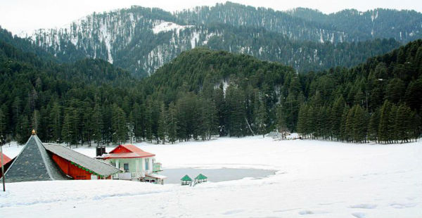
The Western Himalayas have been witnessing on and off rain and snowfall activity of varying intensity during the month of February. In fact, during the last 24 also, rain, thundershower along with snow was witnessed in the higher reaches of Jammu and Kashmir.
[yuzo_related]
In the last 24 hours from 8.30 am on Wednesday, Gulmarg recorded rain to the tune of 0.4 mm, Banihal 1 mm, Qazigund 0.8 mm and Manali witnessed 1 mm of rain.
As per the weathermen at Skymet Weather, rain and snowfall activity is likely to intensify between February 23 and 25. Moreover, there are chances that these rain and snowfall activities would cover the remaining parts of Jammu and Kashmir. In fact, Himachal Pradesh and Uttarakhand will also record good rains and snow.
However, the intensity of rain and snow is expected to be more over Jammu and Kashmir and Himachal Pradesh. Uttarakhand will record rain and snow at isolated places only.
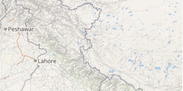
Click the image below to see the live lightning and thunderstorm across the hills
The rain and snow activity can be attributed to the Western Disturbance persisting over Jammu and Kashmir. Places such as Srinagar, Banihal, Gulmarg, Qazigund, Manali, Shimla, Kufri, and Auli are likely to witness rain and snowfall activity. In fact, Vaishno Devi may also witness rainfall activity.
The maximum temperatures are expected to reduce significantly over the region but the minimums would observe a marginal rise.
Rain and snow activity will be widespread over the hills of North India between February 23 and February 25. In fact, hailstorm is also possible over the southern parts of Jammu and Kashmir, Himachal Pradesh and Uttarakhand during that time.
To enjoy snowfall, tourists can head to the famous hill stations of North India during the weekend as the snowfall activity will be more enticing during that time.
IMAGE CREDIT: Wikipedia.org
Any information taken from here should be credited to skymetweather.com


