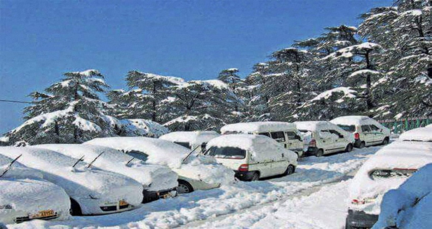
Since, the beginning of the new year, one after the other intense Western Disturbances have been approaching the Western Himalayas. The last Western Disturbance which brought about heavy to very heavy snowfall in the hills has now moved away. Despite the system clearing the region, moderate rain and snow have continued to be observed in Jammu and Kashmir during the last 24 hours. For instance, Qazigund during this span of time received 31 mm of snow while Srinagar recorded 6 mm of precipitation.
A fresh Western Disturbance has now approached North Pakistan and its adjoining areas. This system is going to bring along light to moderate rain and snow in Jammu and Kashmir, Ladakh and Himachal Pradesh. Light rain is also likely in Uttarakhand on January 15.
On January 16, the intensity of rain will increase over the entire hilly region. Heavy to very heavy rain and snow is possible in Uttarakhand by late afternoon of January 16. Also, there are chances of hailstorm activities in Uttarakhand.
By January 17, there will be a significant decrease in the weather activities in Jammu and Kashmir, Ladakh and Himachal Pradesh. However, Uttarakhand will continue to get moderate to heavy rain and snow until January 18.
Several places in the region are already facing road blockages due to landslides and snowfall. And this fresh spell of rain and snow is going to make the matter a little worse. Avalanches in this situation cannot be ruled out either.
According to the records available with Skymet, between January 1 and 14, Himachal Pradesh and Uttarakhand including the Union Territory Jammu and Kashmir are largely rain surplus. The state of Uttarakhand is surplus by 898%, Himachal Pradesh by 185% and Jammu and Kashmir is rain surplus by 146%.
Image Credits– The Tribune
Any information taken from here should be credited to Skymet Weather


