The hilly region of Jammu and Kashmir, Ladakh, Himachal Pradesh and Uttarakhand have performed quite satisfactorily in terms of rain and snowfall activities so far.
During the month of November, the hills of Western Himalayas witnessed four Western Disturbances. Due to the presence of these Western Disturbances, heavy rainfall activity and snowfall occurred overJammu and Kashmir including Laddakh, Himachal Pradesh and Uttrakhand.
Since November 29, the weather has gone almost dry over the entire hilly states. Although feeble Western Disturbances approached theWestern Himalayas they failed to give any significant weather activity.
We expect dry weather conditions to prevail in the hills until December 9.
According to our meteorologists, a fresh Western Disturbance is likely to approach Jammu and Kashmir on December 10. During this period, light scattered rains are very likely to commence over the parts of Jammu and Kashmir including Laddakh.
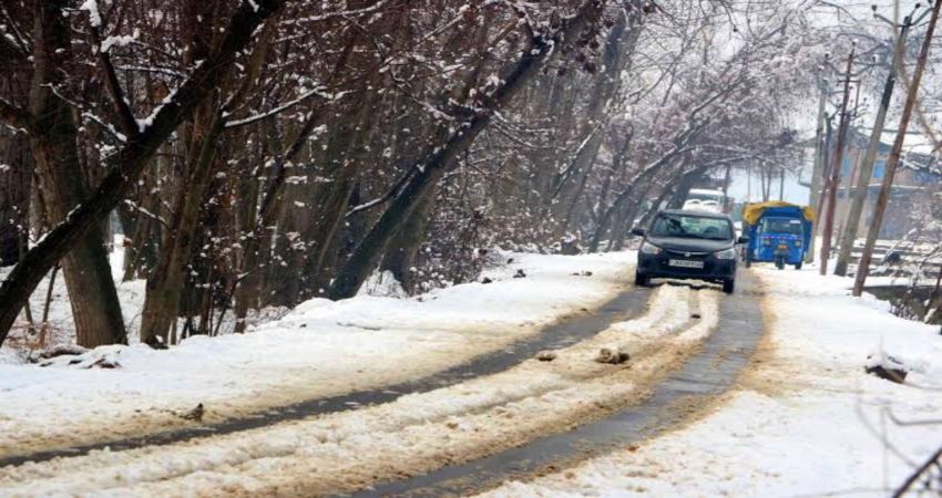
On December 11 and December 12, the rainfall activities will increase which will cover many parts ofHimachal Pradesh and Uttrakhandas well. These states might also receive heavy snowfall which may lead to the closure of many roads as well as the Jammu-Srinagar highway. With heavy snowfall, chances of landslides and mudslide are also very likely.
By December 13, the Western Disturbance will move away. However, scattered light rain and snow may continue to be observed in parts of Himachal Pradesh and Uttrakhand. The impact of this Western Disturbance will also be felt over the Northwest plains in terms of light scattered rainfall activities as an inducedCyclonic Circulationwill form over the states of Punjab and Haryana.
By December 14, icy cold winds will blow across theNorthwest plainswhich will pull down the day and night temperatures by 3 - 4 degrees Celcius. Moderate to dense fog is also likely in the region during this period.
Image Credit: Scroll.in
Please Note: Any information picked from here must be attributed to skymetweather.com


