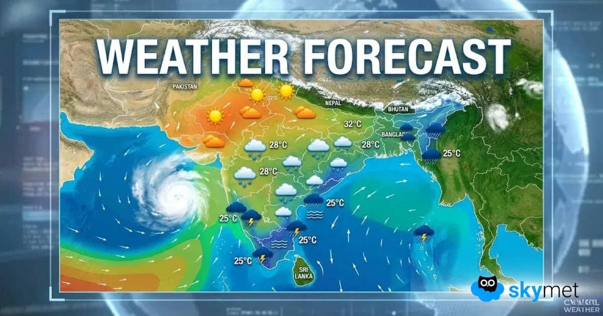
A fresh Western Disturbance has recently reached North Jammu and Kashmir and has already started to affect the weather over here. Scattered lightrains have commenced over multiple parts of Jammu and Kashmirduring the last 24 hours.
As per the forecast, there will be a gradual increase in rain activities over the region. Snowfall is also likely over Jammu and Kashmir, Himachal Pradesh and Ladakh by today evening. By tonight, we expect rain and snow to cover Uttarakhand as well. Tomorrow i.e. on February 29, we expect fairly widespread rain activities over entire hilly regions of Western Himalayas. This will continue until the next 24 hours.
By March 1, the intensity of rain and snow will start reducing over Jammu and Kashmir, Ladakh and parts of Himachal Pradesh. Rains will continue over eastern parts of Himachal Pradesh and Uttarakhand on March 1 also.
By the evening of March 1, we expect the entire hilly region to go dry once again. Maximum temperatures will once again start rising. So, we do not expect very heavy snowfall during this time. However, one or two intense spells of rain are expected. Isolated hailstorm activities are also possible over lower regions of Himachal Pradesh and Uttarakhand as well as Jammu and Kashmir. We do not expect much disruption in normal day to day life during this spell.
Image Credits– The Tribune
Any information taken from here should be credited to Skymet Weather


