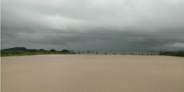
Southwest Monsoon has bought a bunch of light to moderate rains from the last few days for the state of Odisha. The similar weather pattern continued for the state in the last 24 hours as well wherein, light with isolated moderate spells occurred over the state.
However, in contrast with the interior regions, the coastal areas of the state recorded better rains. Within the span of the last 24 hours, from 08:30 am on Sunday, Cuttack recorded 31.2 mm of rains, Koraput 13.6 mm, Bhubaneswar 5 mm, and Puri witnessed 1 mm of very light spells.
Now also, Skymet Weather predicts that scattered light to moderate rains are expected over Odisha for the next 24 hours. Thereafter, the intensity of rains will increase and moderate rains with one or two heavy spells are likely to show up over the state for the next 3-4 days.
[yuzo_related]
These rains will be because of the cyclonic circulation which is at present over North Andaman Sea. It will gradually move in a northwest direction towards Odisha and West Bengal coast and will increase the rain activity over most parts of East India including Odisha.
These rain activities are expected to continue to the state until the month end. However, in contrast with the interior regions of the state such as Sambalpur, Jharsuguda, Bhawanipatna and Phulbani, the districts lying in the Coastal belt such as Koraput, Ganjam, Gajapati, Puri, Bhubaneswar, and Cuttack will get to see more rains.
Click to see live lightning and thunderstorm across Odisha
As on September 24, Odisha is 9% rainfall deficient. However, if the rainfall statistics are to be considered, this mark happens to be normal. Moreover, the prediction of some more good showers will result in enhancing the rainfall statistics further.
Image Credit: Hemantapress
Any information taken from here should be credited to skymetweather.com


