Dry weather prevailed over most parts of Northwest India i.e. Punjab, Haryana, Delhi, West Uttar Pradesh and North Rajasthan, during the last 24 hours.
In fact, due to change in wind pattern from northwesterly to southwesterly, the day temperatures over all the places of these states increased significantly. Along with this, slight increase in night temperatures was also experienced.
Now further also, in wake of the approaching active Western Disturbance and its induced cyclonic circulation, both day and night day temperatures are expected to increase.
Presently, the Western Disturbance as an upper air system lies over Northeast Afghanistan and its associated induced cyclonic circulation lies over central parts of Pakistan.
Due to these weather systems, the winds are prevailing from southwesterly direction over Gujarat and Rajasthan region, these winds are humid in nature as they are travelling from Arabian Sea.
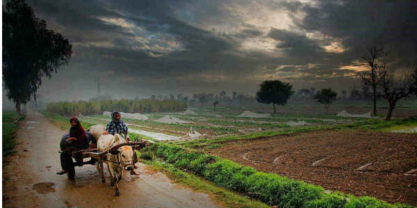
Hence, tonight onwards, light rain is expected to commence over Punjab, West Haryana and Rajasthan. Thereafter, gradually as this system would be moving eastwards, rain and thundershower will be affecting Saurashtra & Kutch, west and north Rajasthan, Delhi, Punjab, Haryana and Uttar Pradesh on January 21.
However, on January 21, due to extensive clouding and rain, day temperatures will decrease. While, minimums will continue to rise significantly, due to the warm winds.
These rain and thundershower activities are expected to affect all the northwestern plains of India, during the next two to three days. Moreover, during this period, isolated places of Punjab, Haryana and West Uttar Pradesh may also receive hailstorm activity.
Image Credit: Wikipedia
Please Note: Any information picked from here must be attributed to skymetweather.com


